Horus 59 came about as a result of the Southern Hemisphere Space Studies Program launch, as we still an almost-full cylinder of Helium left over. Launch planning progressed through February, resulting in a launch on Sunday the 25th of February 2023.
The following payloads flew on this launch:
- A FM-SSTV transmitter, sending imagery in the PD120 mode on 145.100 MHz;
- A Wenet imagery transmitter on 443.500 MHz, with the new Pi Camera v3;
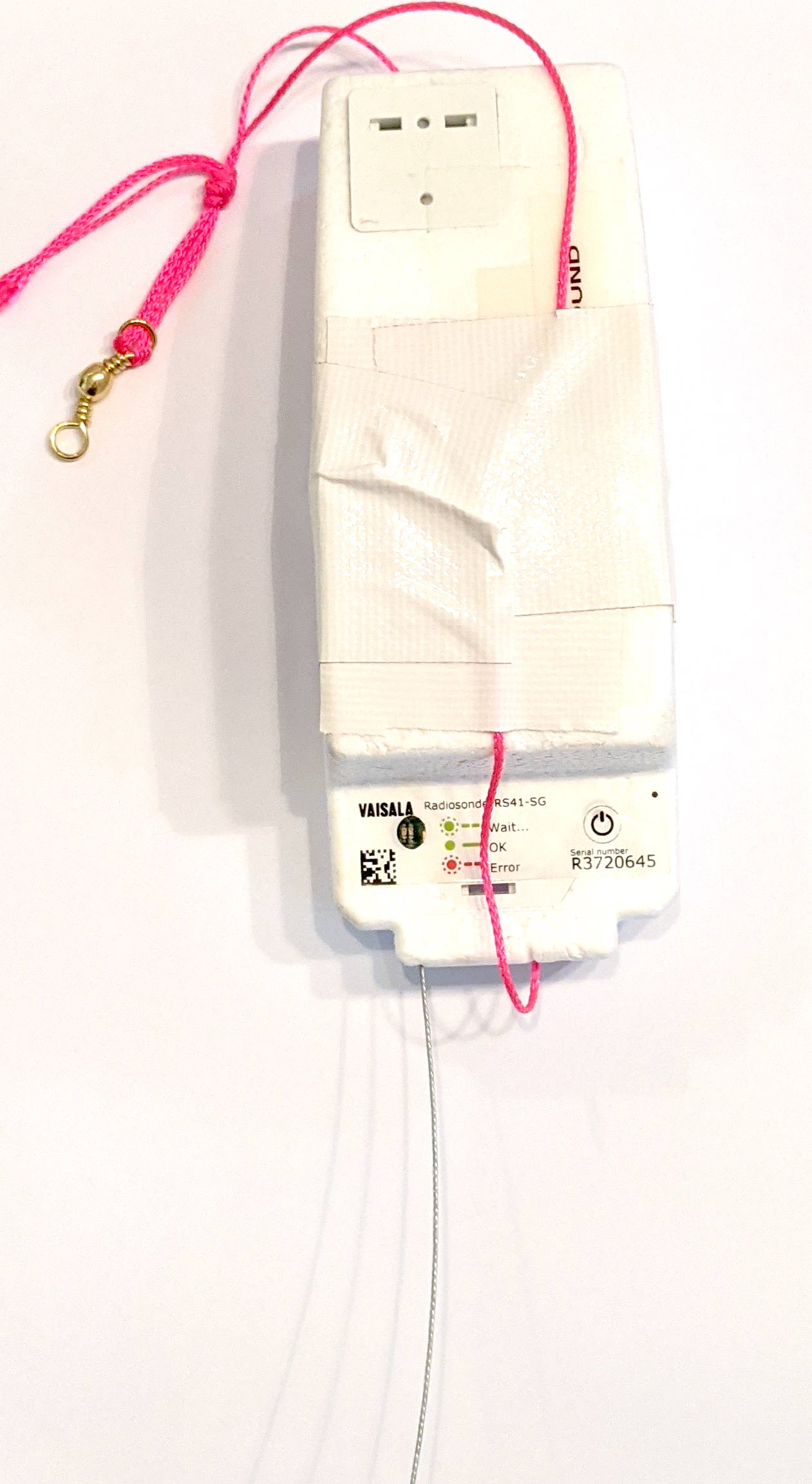
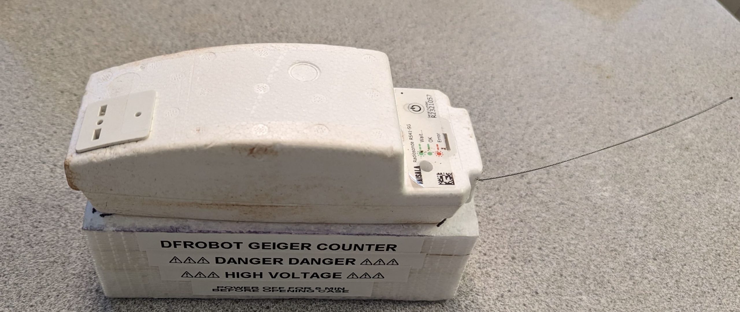
- A Geiger-Tube based radiation sensor payload on 434.210 MHz (the same one that flew on Horus 58 and SHSSP 2023);
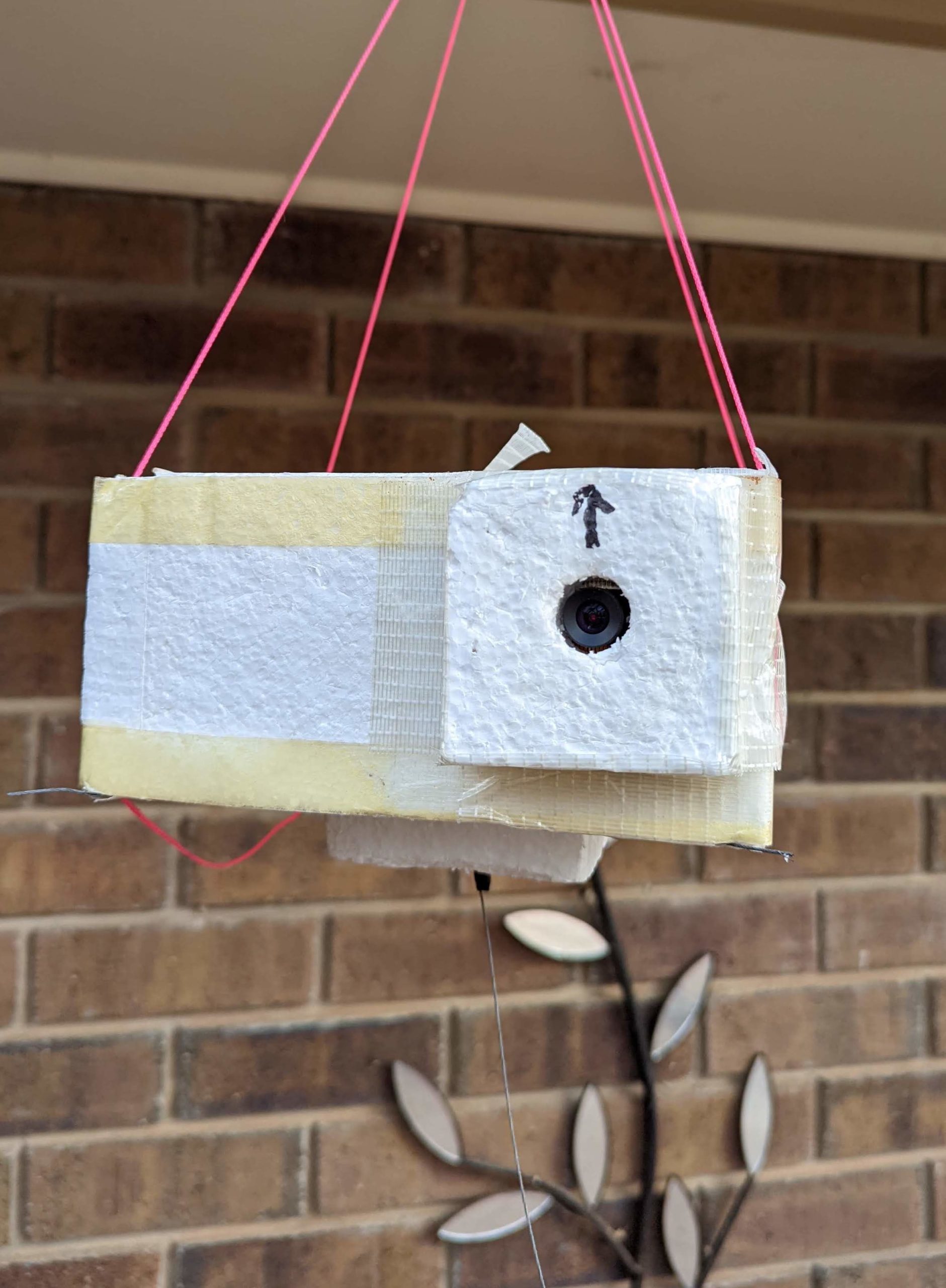
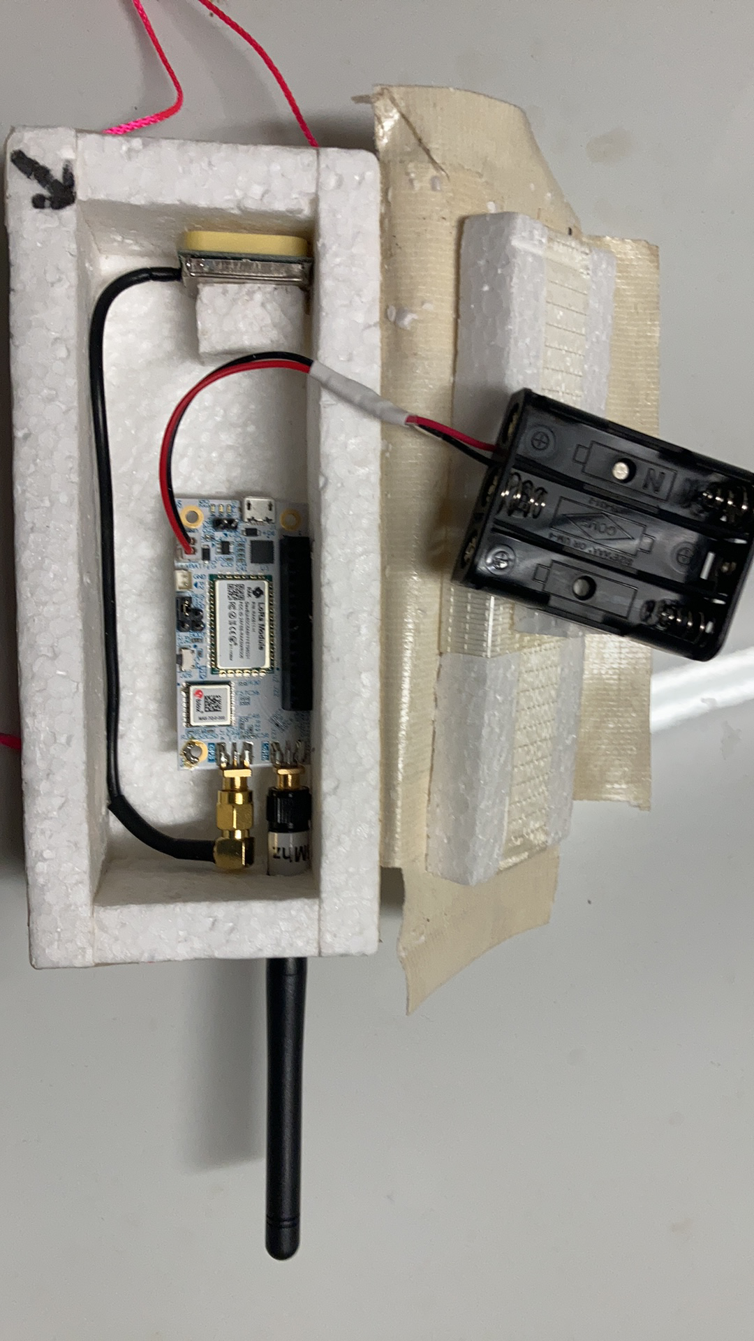
- A LoRaWAN beacon, provided by Liam VK5ALG; and
- Our usual Horus Binary telemetry payload on 434.200 MHz.
Iain Crawford VK5ZD captured much of the days events on video:
Launch Planning
This launch aimed to get more AREG club members involved in the launch planning process. Mark VK5QI ran a series of workshops in the lead-up to the launch, working through the regulatory and planing aspects of a high-altitude balloon launch. The day before the launch a smaller group got together to test telemetry reception and go through some of the more practical aspects of a launch. We hope to run more workshops like this for future launches!
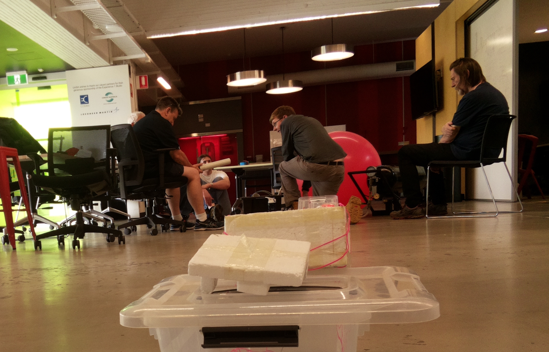
Some of the launch planning group working through practicing filling a balloon.
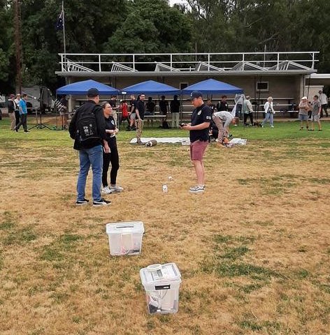
Preparations & Launch
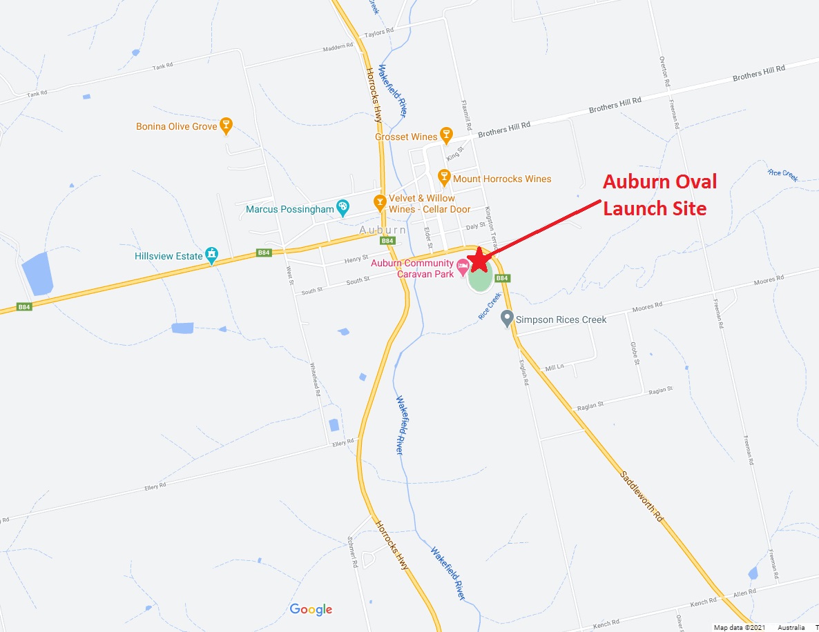
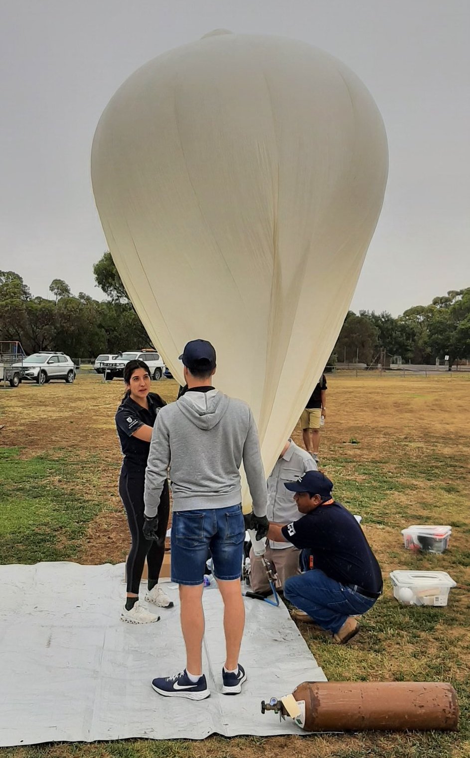
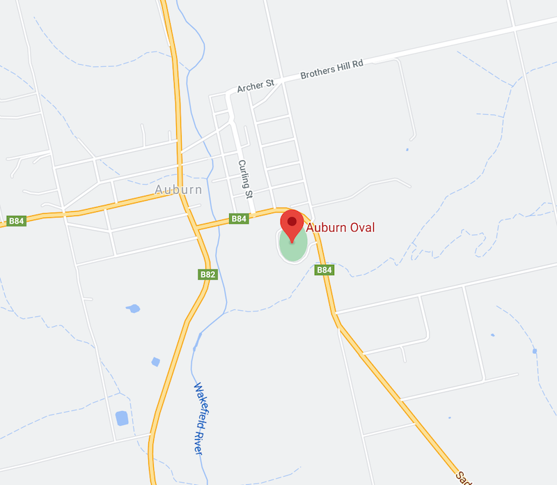
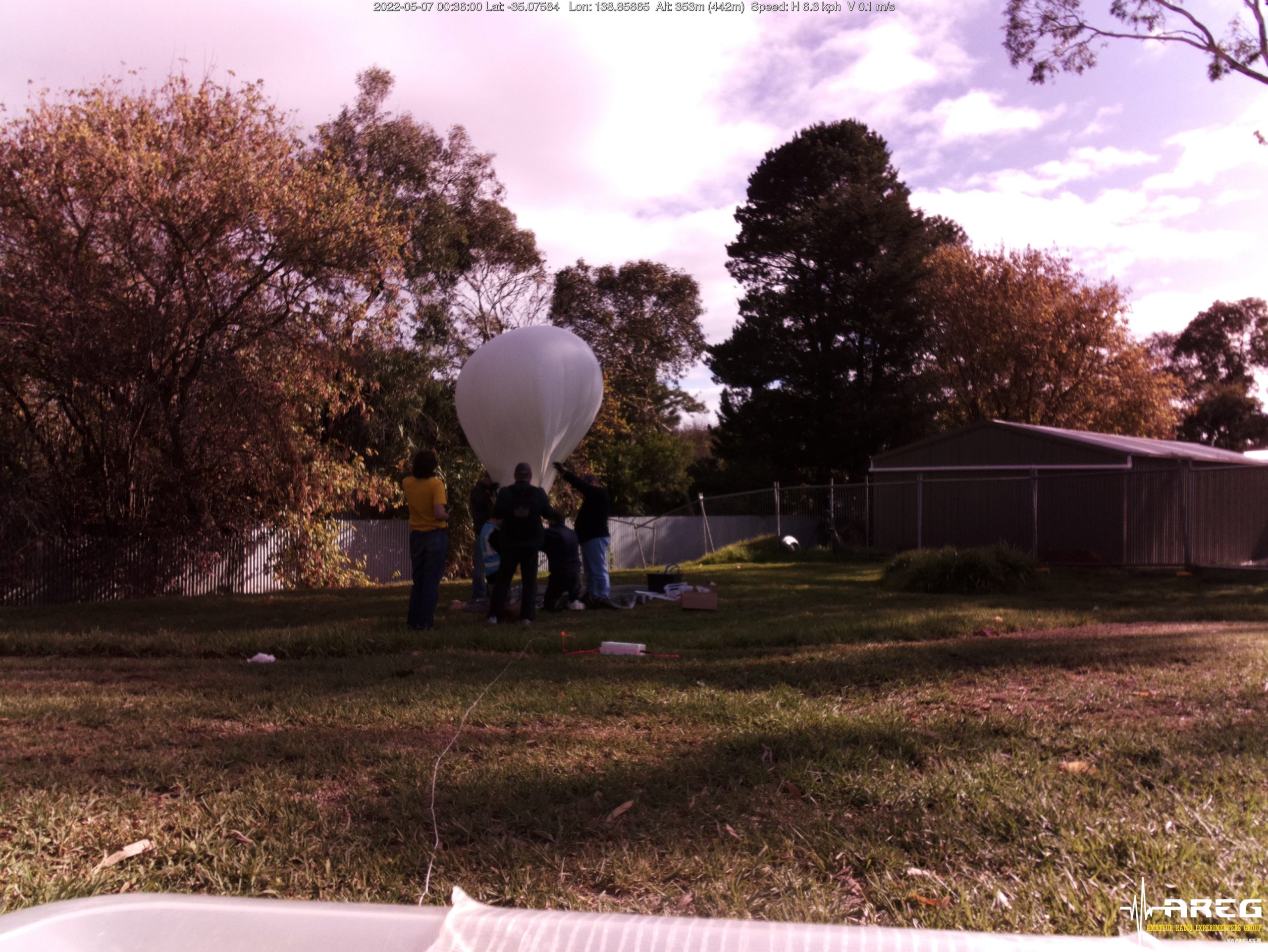
The launch team gathered at the Auburn Community oval at 9AM and started preparing for the flight. This launch saw many spectators, including a few from the mid-north. Iain VK5ZD was also on-site to document the launch activities, with a video to come soon (once he’s back from a holiday!). The launch site weather was perfect, with mostly clear skies and only light winds.
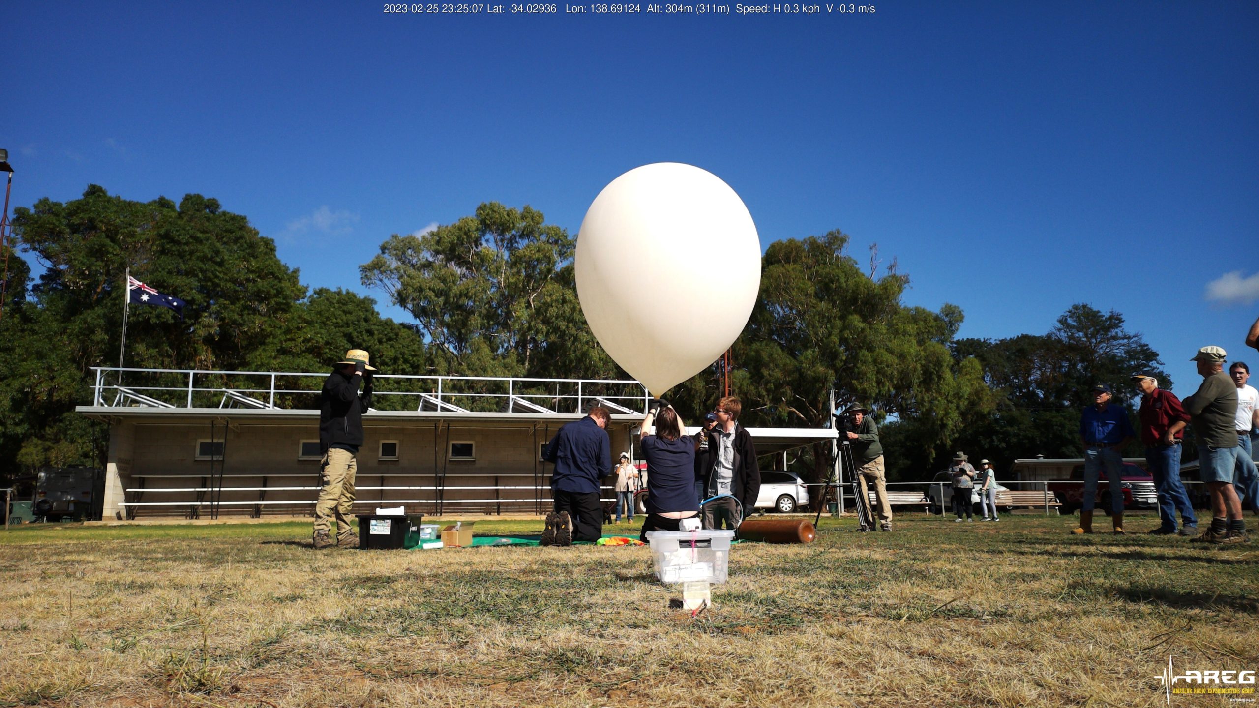
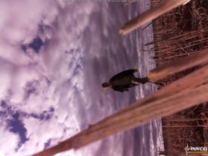
AREG Club Members preparing the balloon for launch, with many onlookers! (Imaged by the Wenet payload waiting to be launched)
All the payload were powered on, tested and sealed up, and the balloon was filled. This was a ‘fast fill’ launch, using up all the leftover gas from the previous SHSSP 2023 launch, and went smoothly.
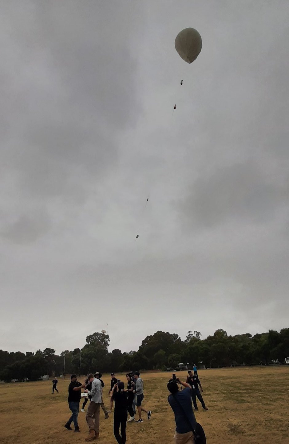
The balloon and payloads were raised into the air, with the final payload handed over to Jackson (son of AREG member Brett VK5TLE) to perform the launch!
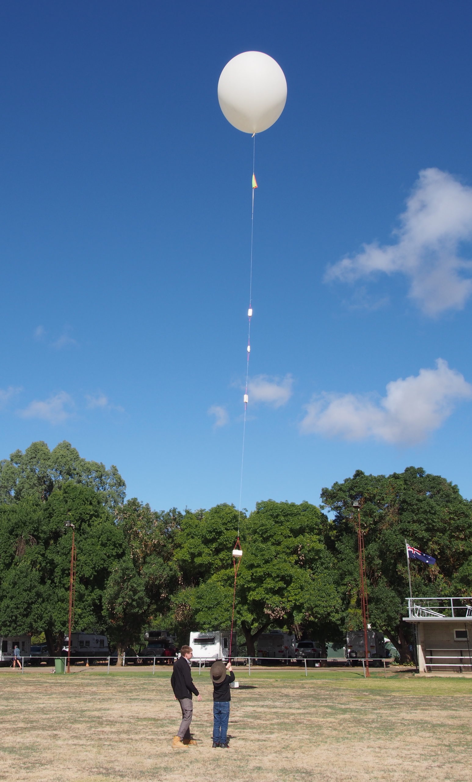
Launch!
Chase & Recovery
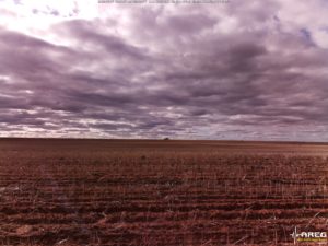
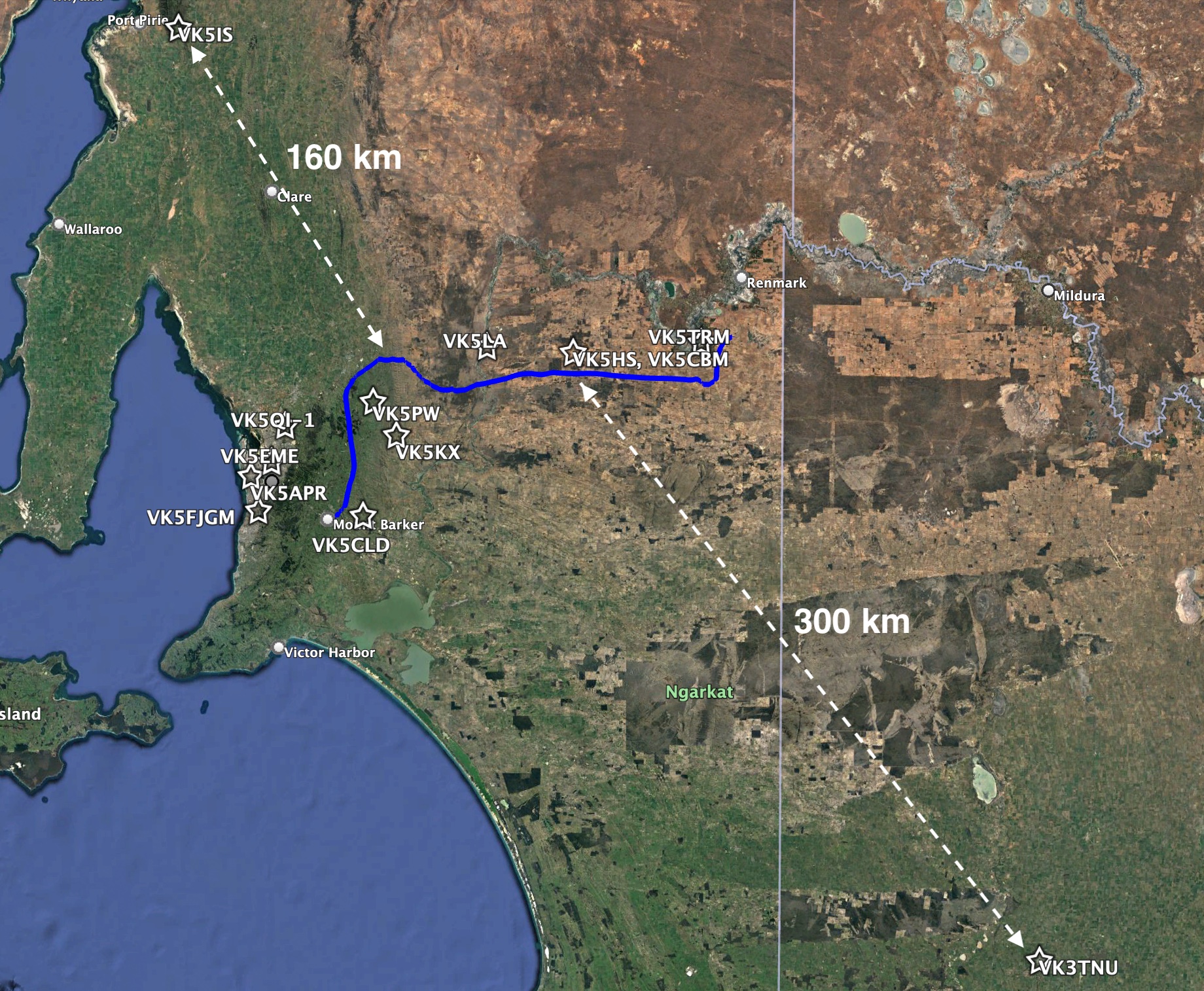
After the launch, the chase teams (and there were 7 of them on this launch!) headed north-east to get closer to the predicted landing area, pulling in at a rest stop south of Hanson, SA.
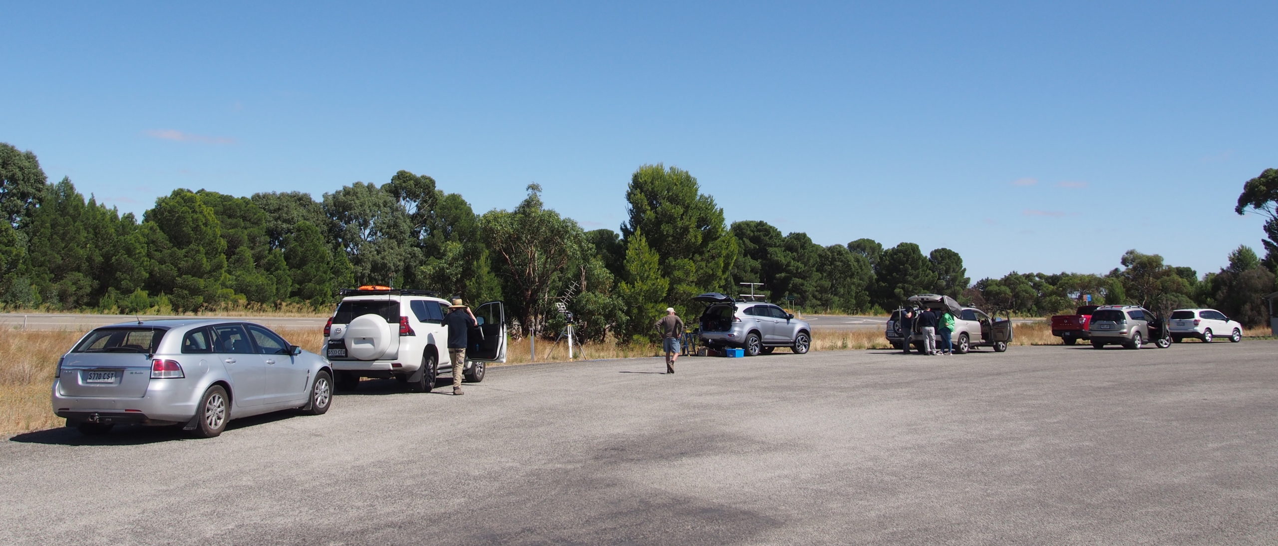
Chase Teams waiting for the balloon to burst near Hanson, SA
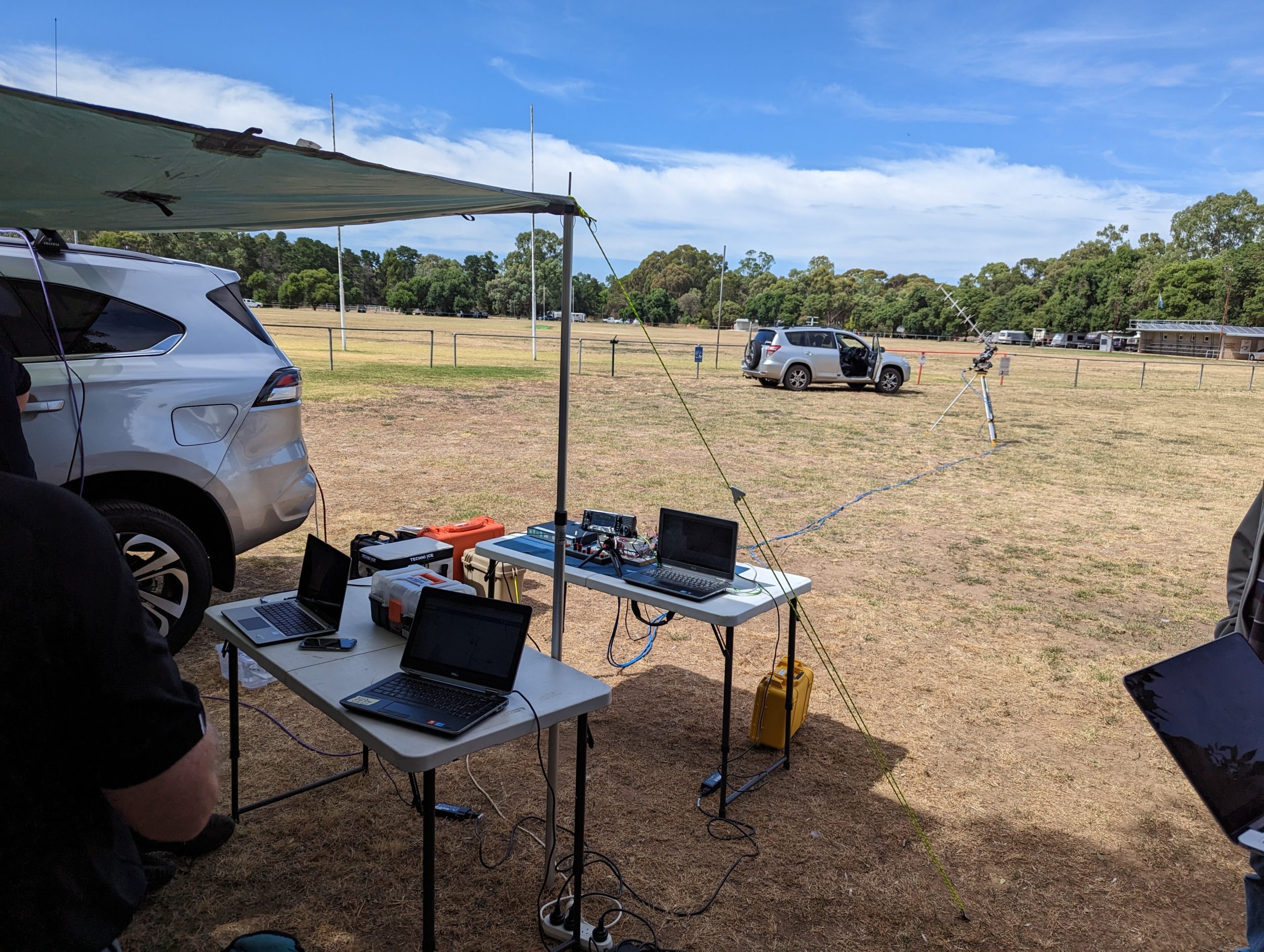
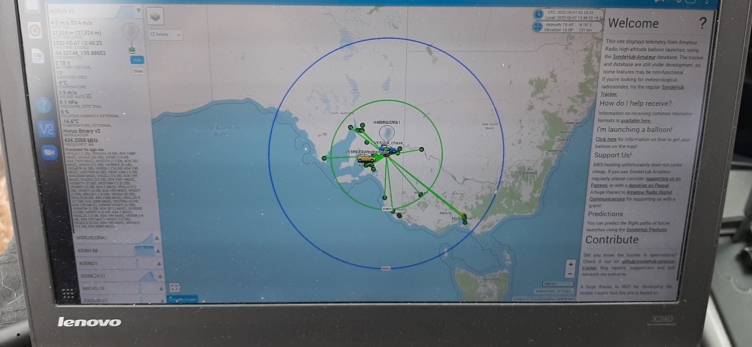
Peter VK5KX was set up here with his portable rotator station, receiving telemetry from all payloads:
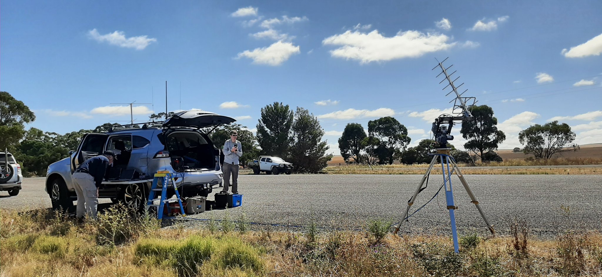
Peter VK5KX’s portable tracking setup
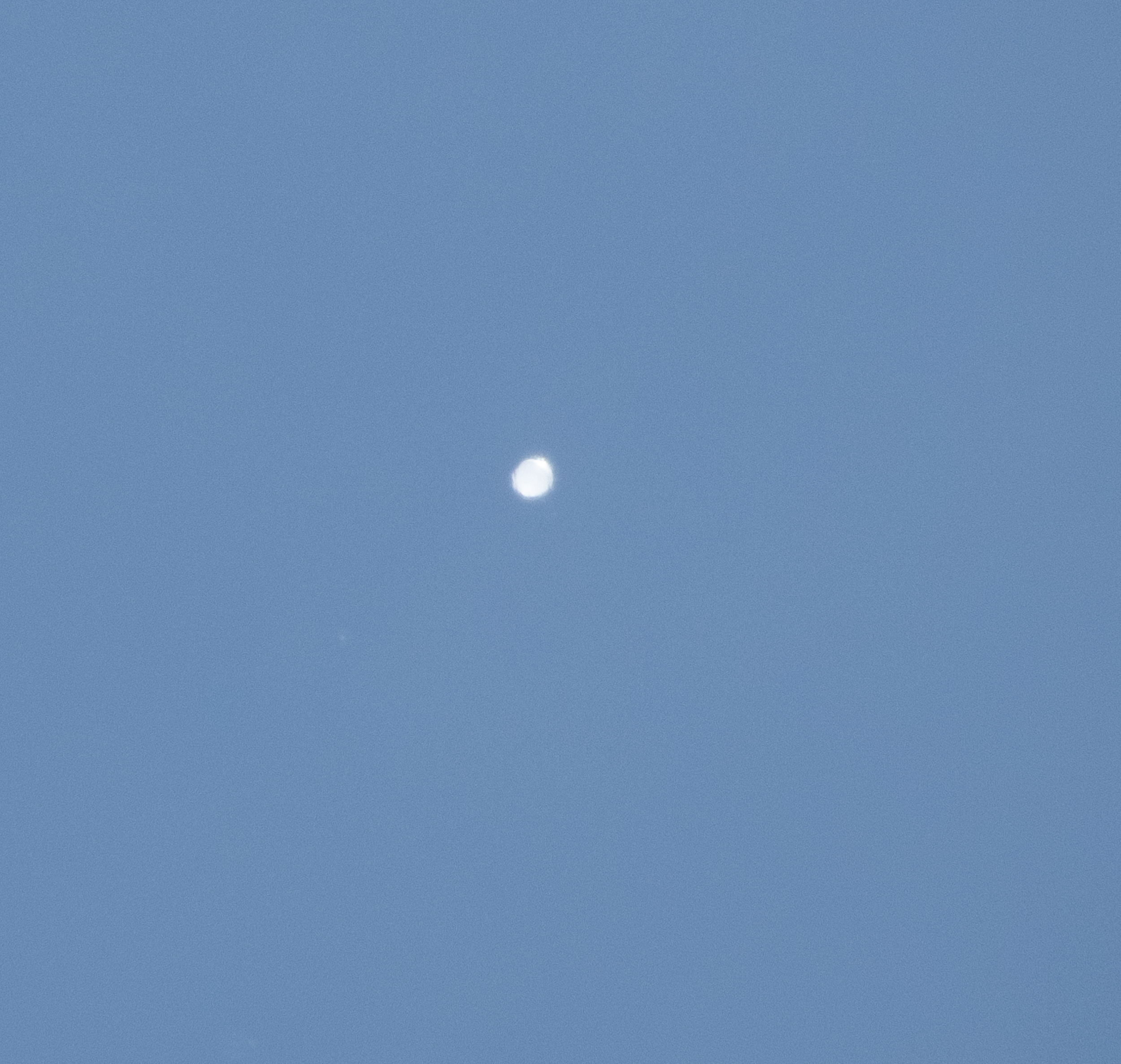
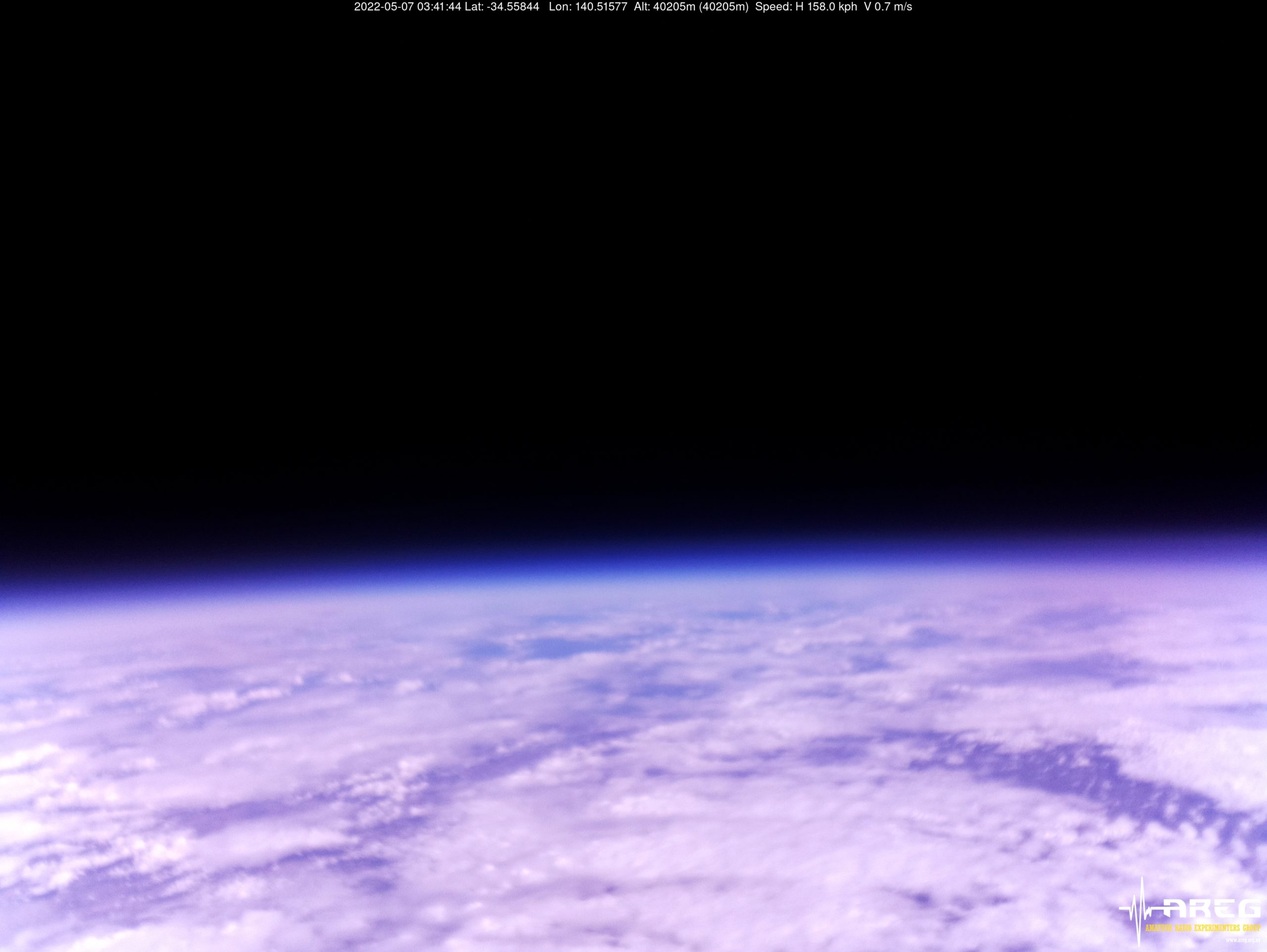
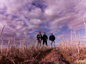
While waiting at the Hanson rest stop the balloon was spotted flying at 30 km altitude, almost directly above the rest stop location! Appearing as a small white dot, many of the chasers were able to watch the balloon travel across the sky for about 20 minutes, before seeing it disappear when it burst at 32,807 metres altitude.
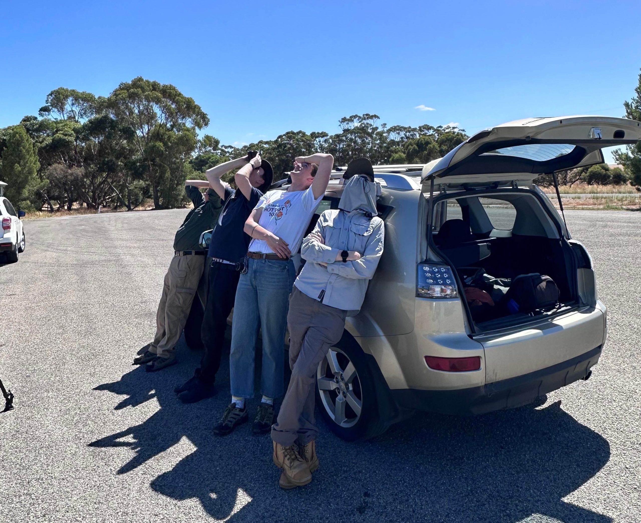
Iain, Ady, Drew and Mark watching the balloon drift along at 30km altitude.
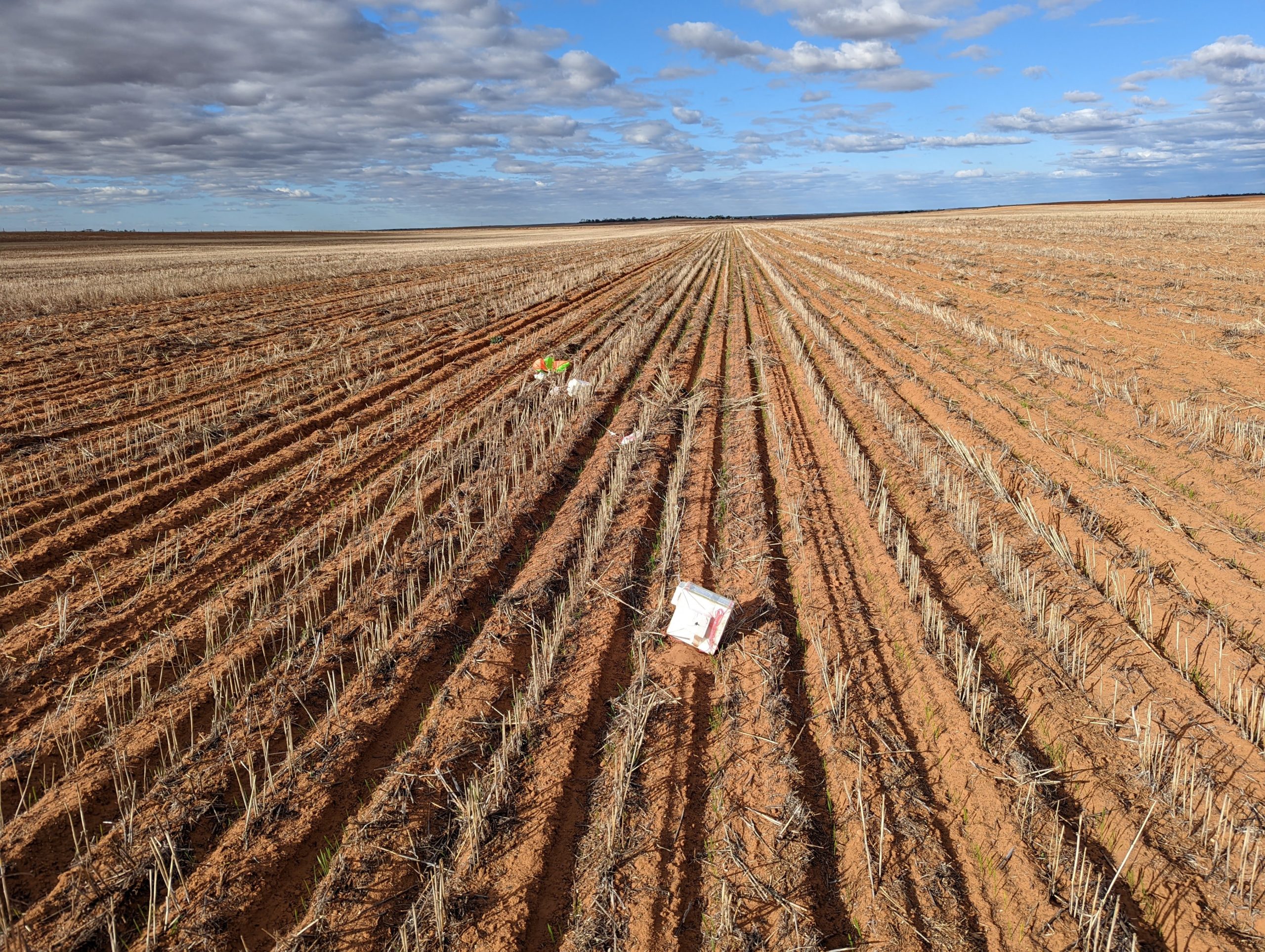
The chase teams didn’t have far to travel to get to the landing area, only 7km to the North-East of Hanson, just off the Barrier Highway. All the teams were able to get into position to watch the payload descend into an empty paddock, a great experience for the new balloon chasers!
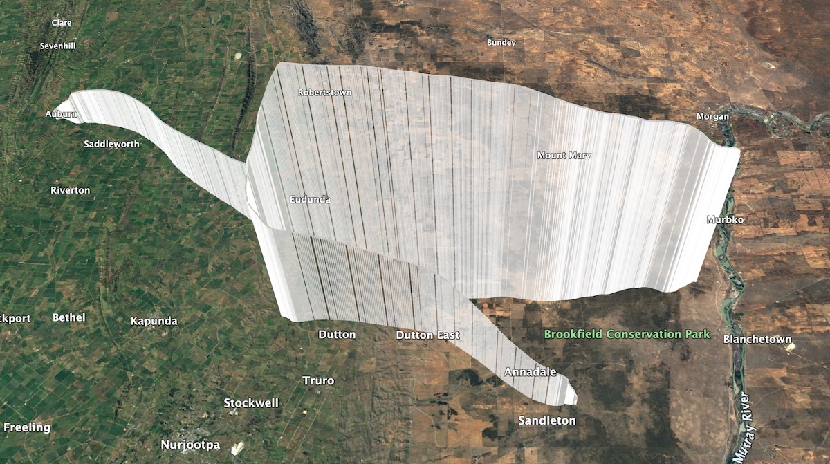
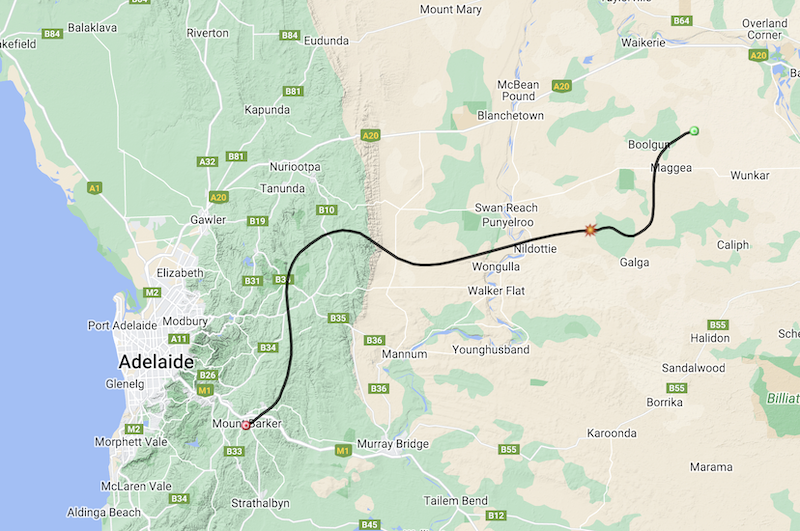
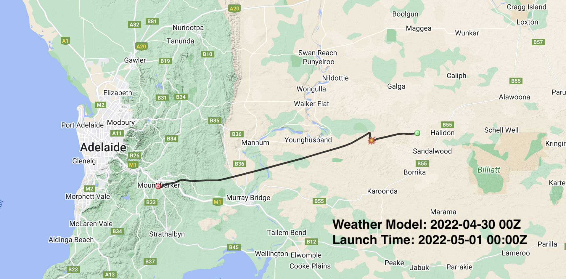
Horus 59 Flight Path
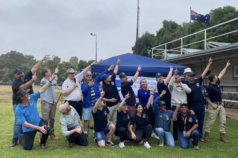
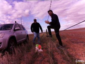
The payloads were quickly recovered, with the mandatory Wenet Payload group photo being taken once the payload were back at the cars:
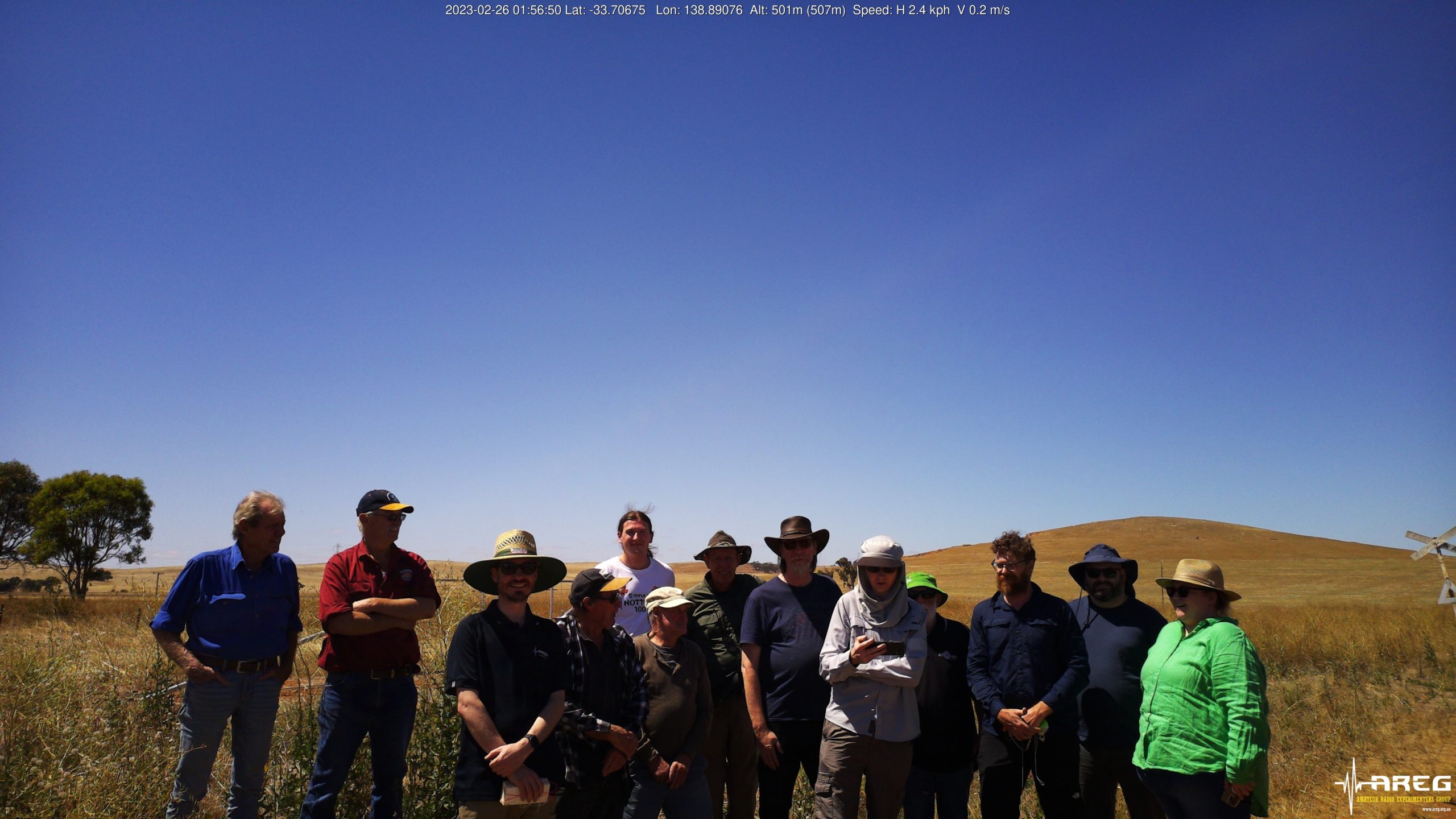
Horus 59 Chase Team Group Photo, taken by the Wenet Payload camera.
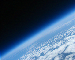
FM-SSTV Payload Results
Apart from an issue with the onboard GPS receiver, the FM-SSTV payload transmitted imagery fine all throughout the flight. So far we’ve received a few reception reports from the Adelaide area, and also Pt Lincoln, though we expect this payload would have been receivable well into Victoria. If you received imagery from this flight, please let us know!
A selection of images received by Mark VK5QI’s home station in Adelaide are shown below:
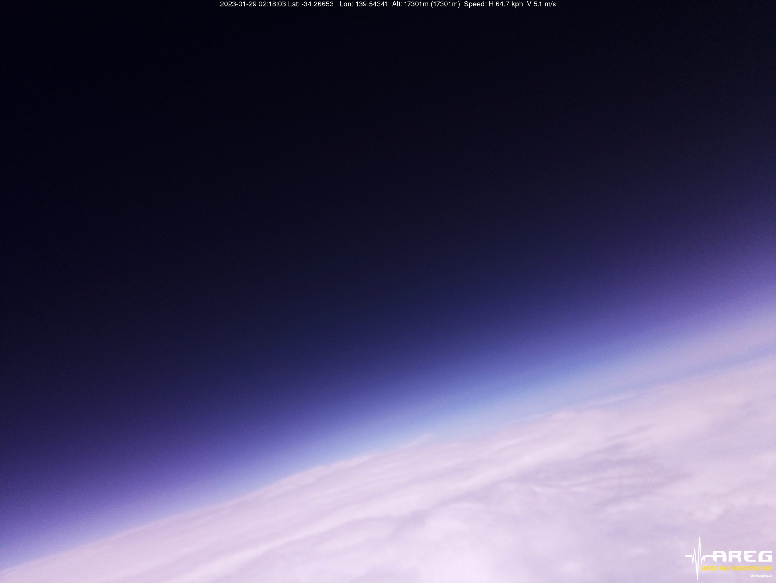
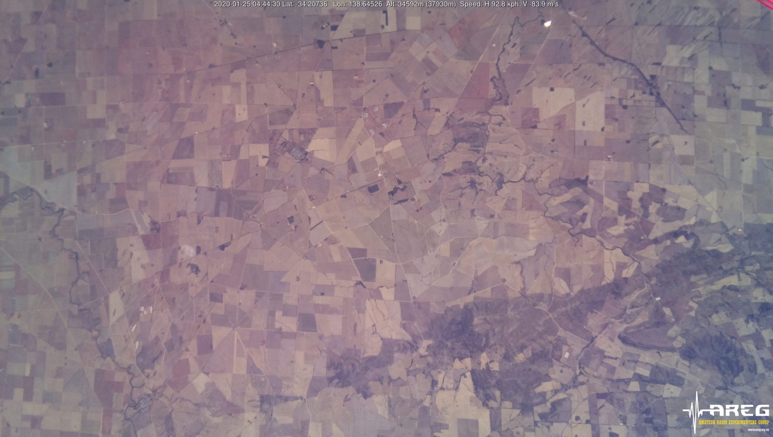
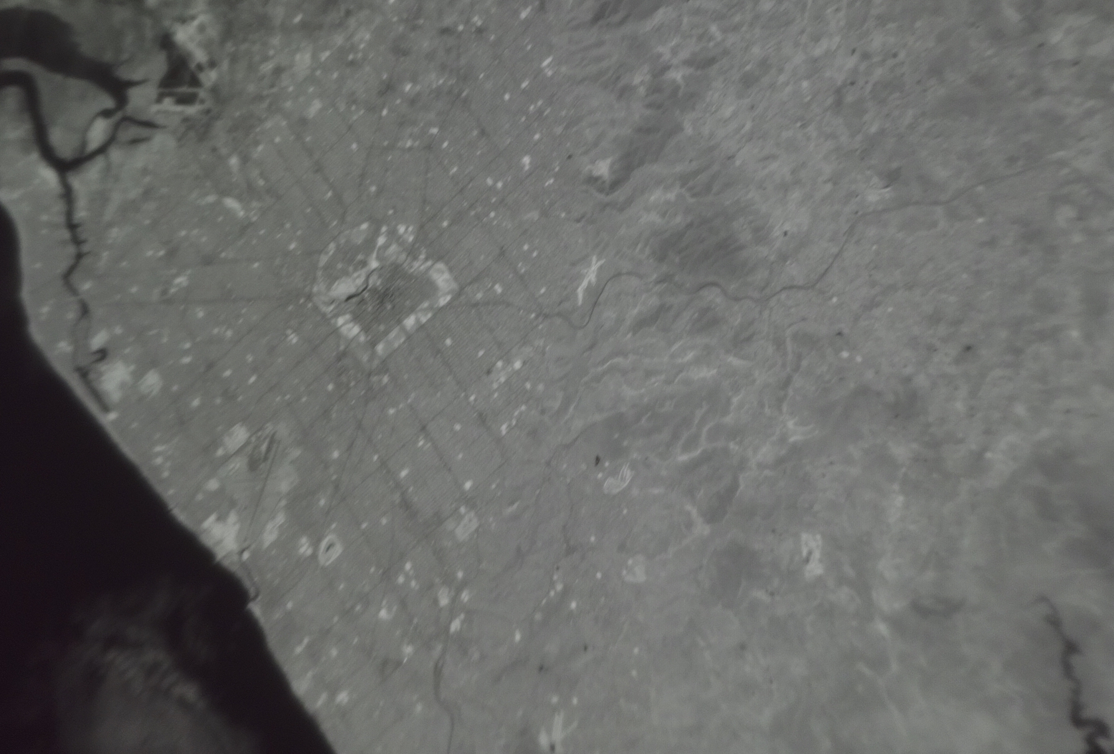
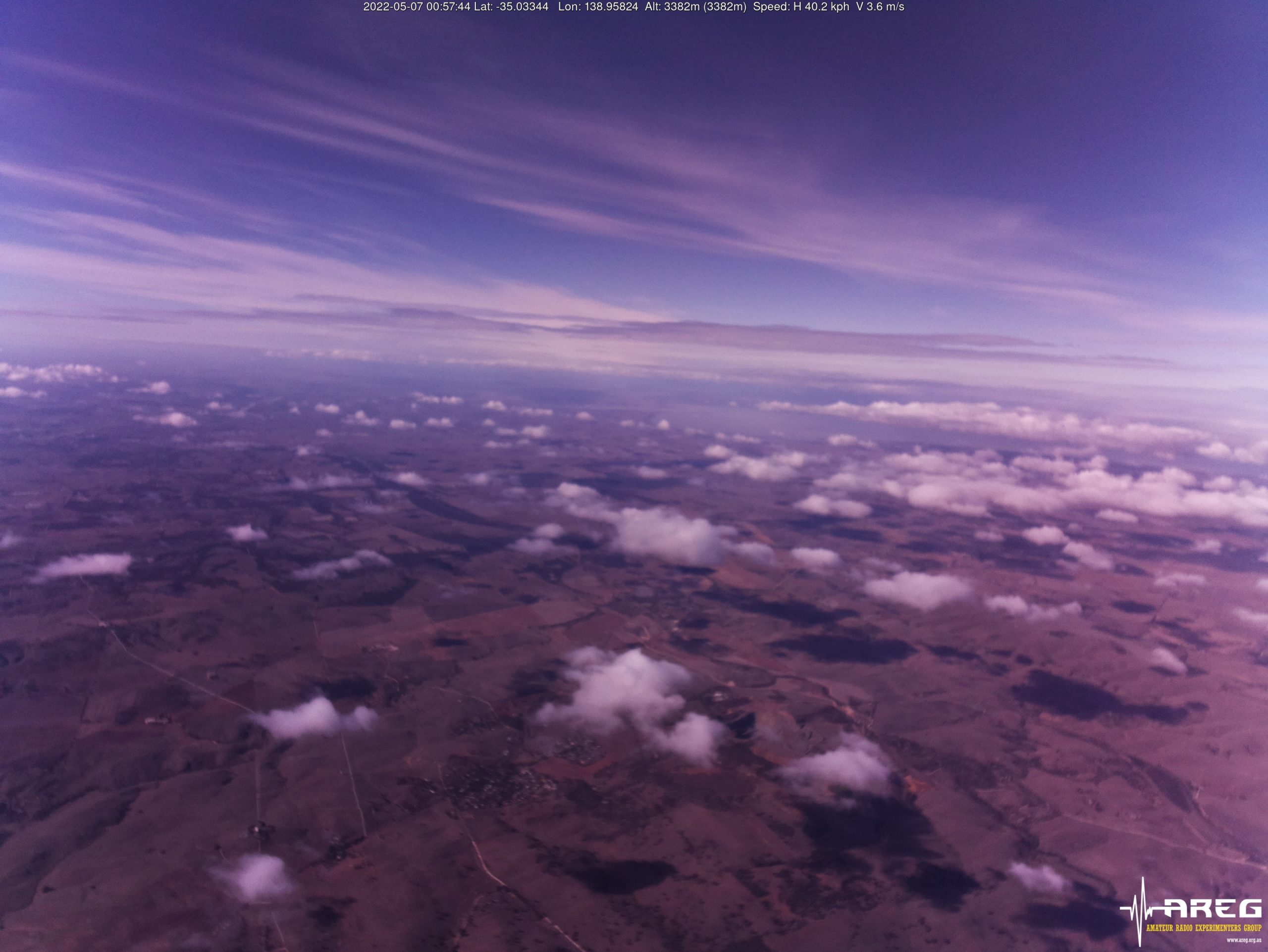
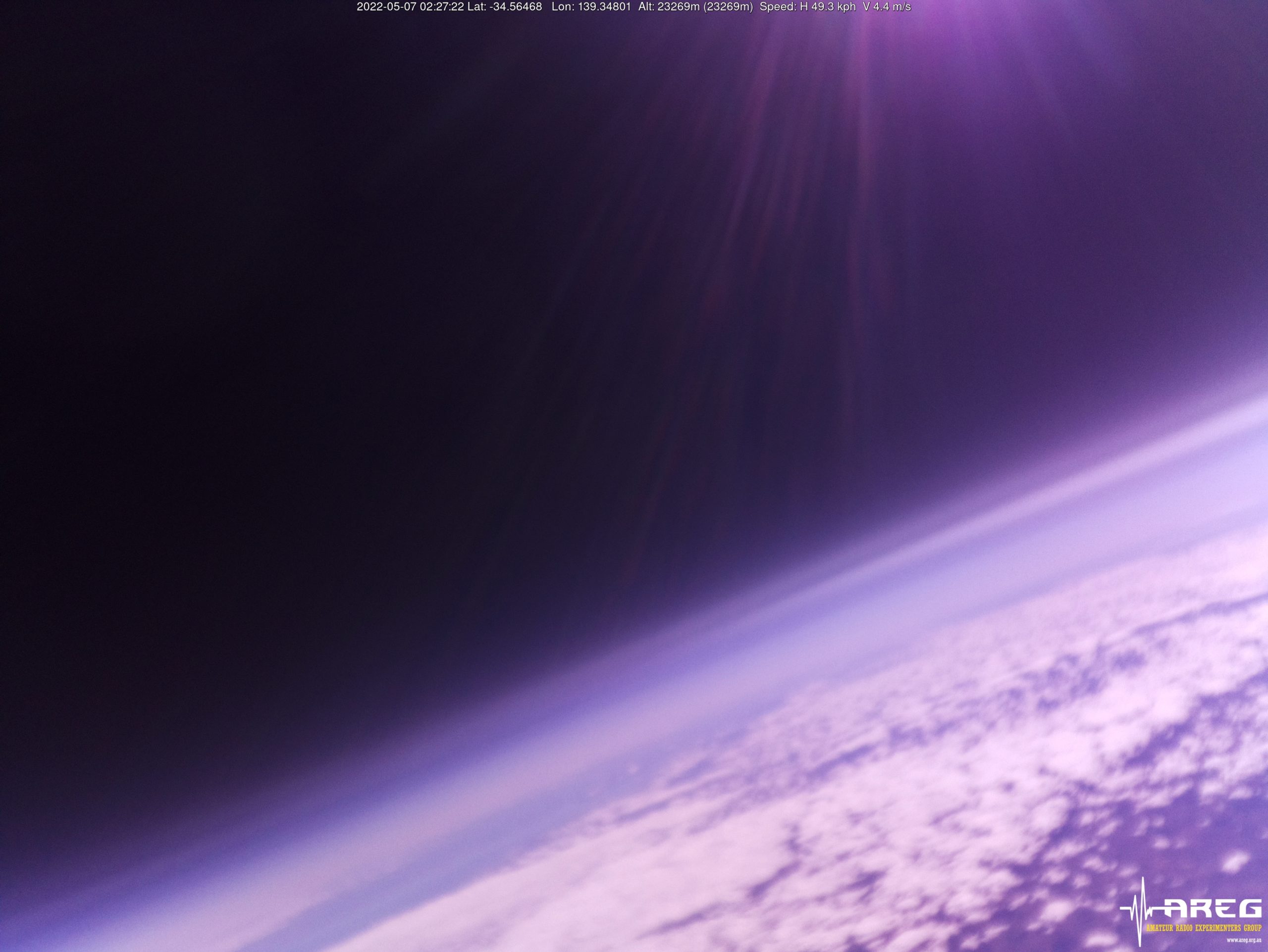
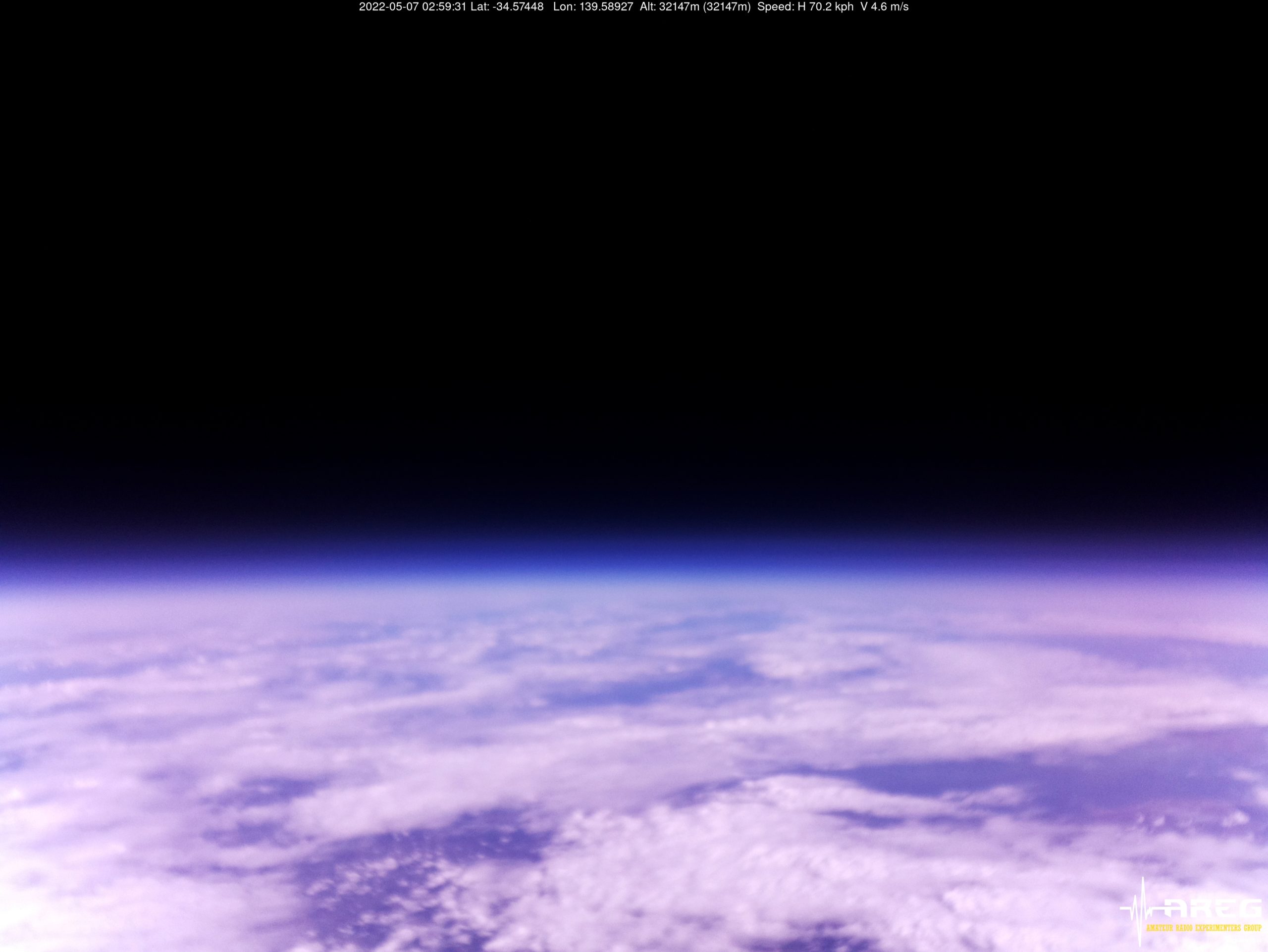
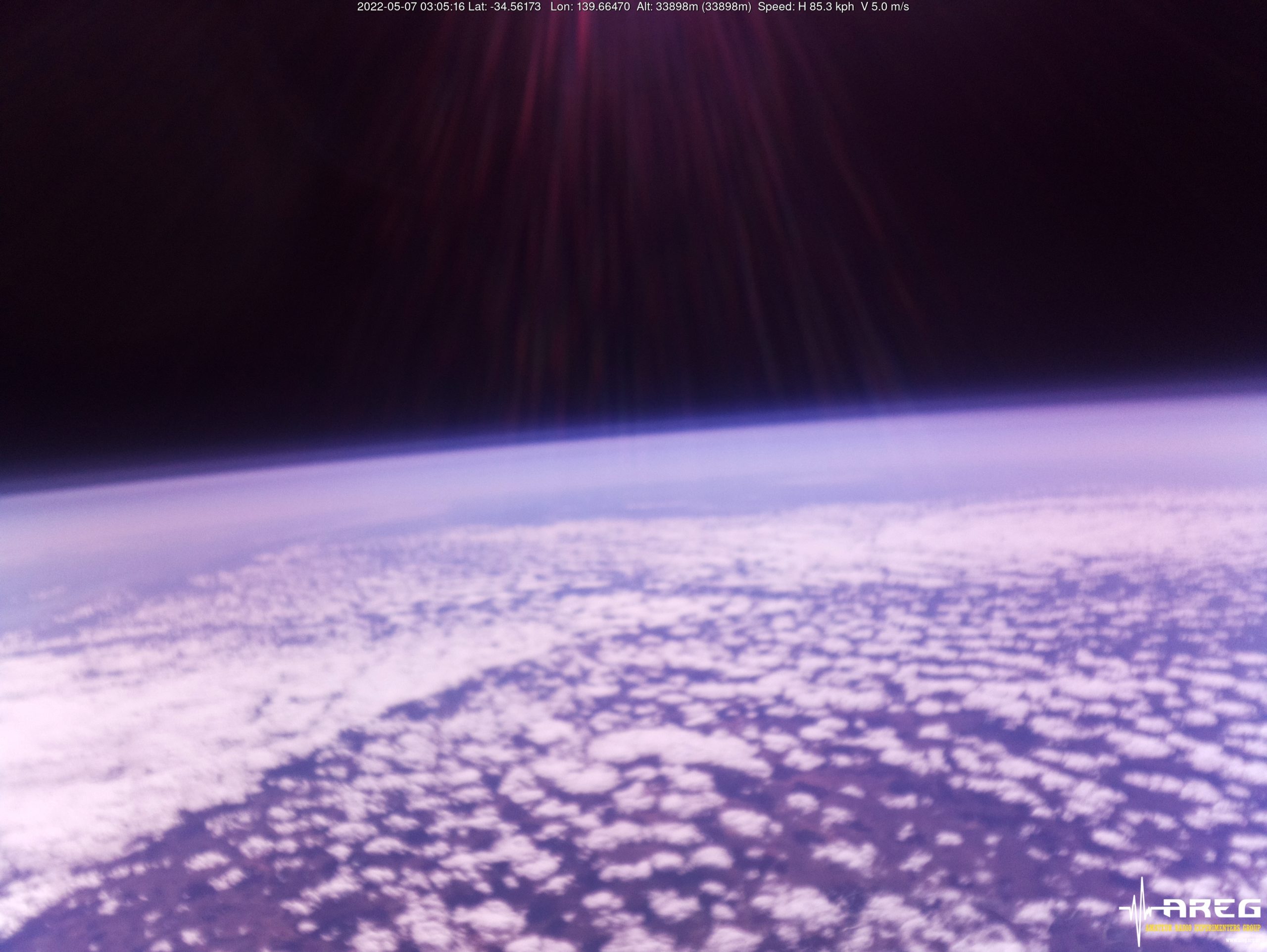
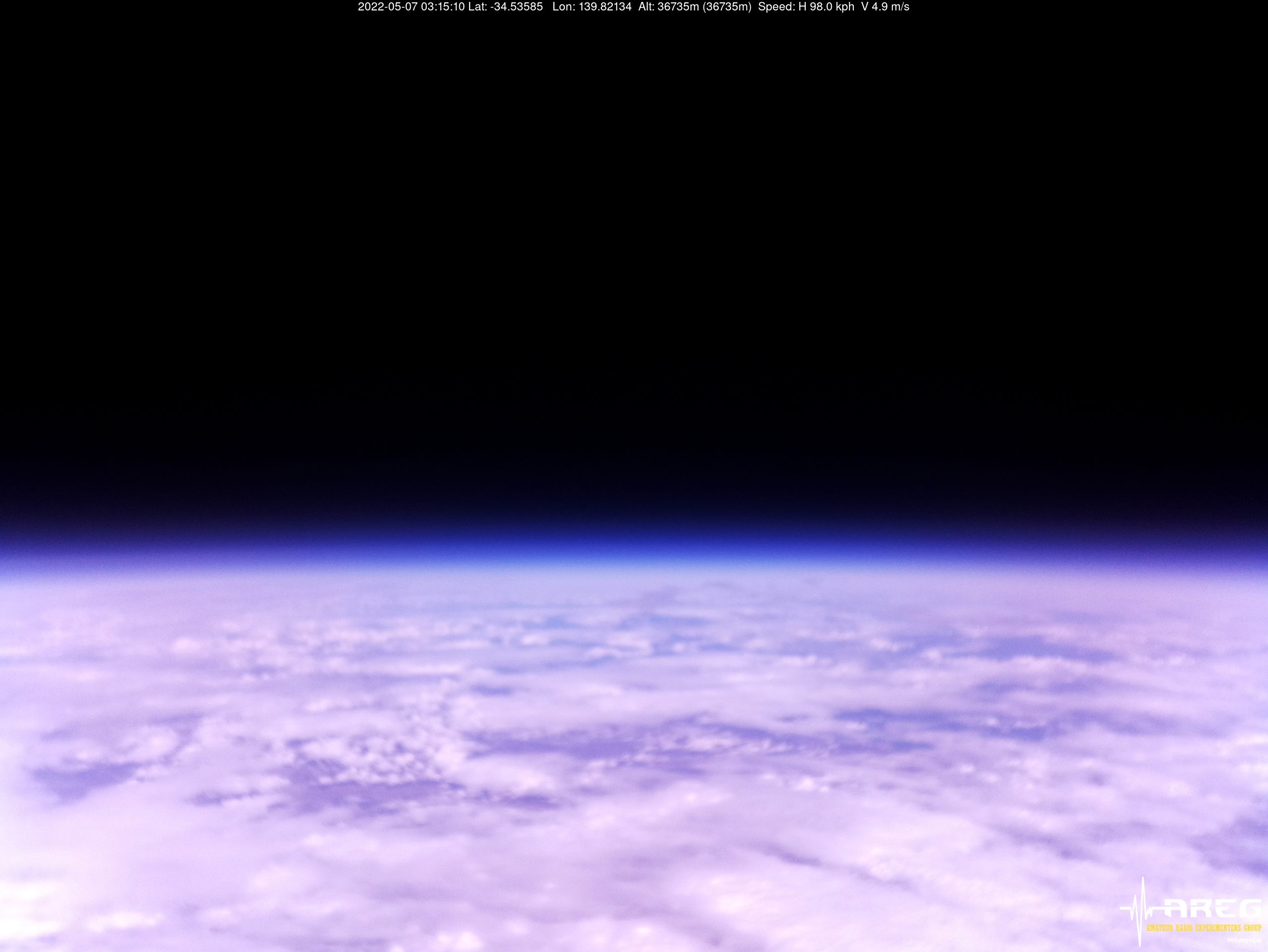
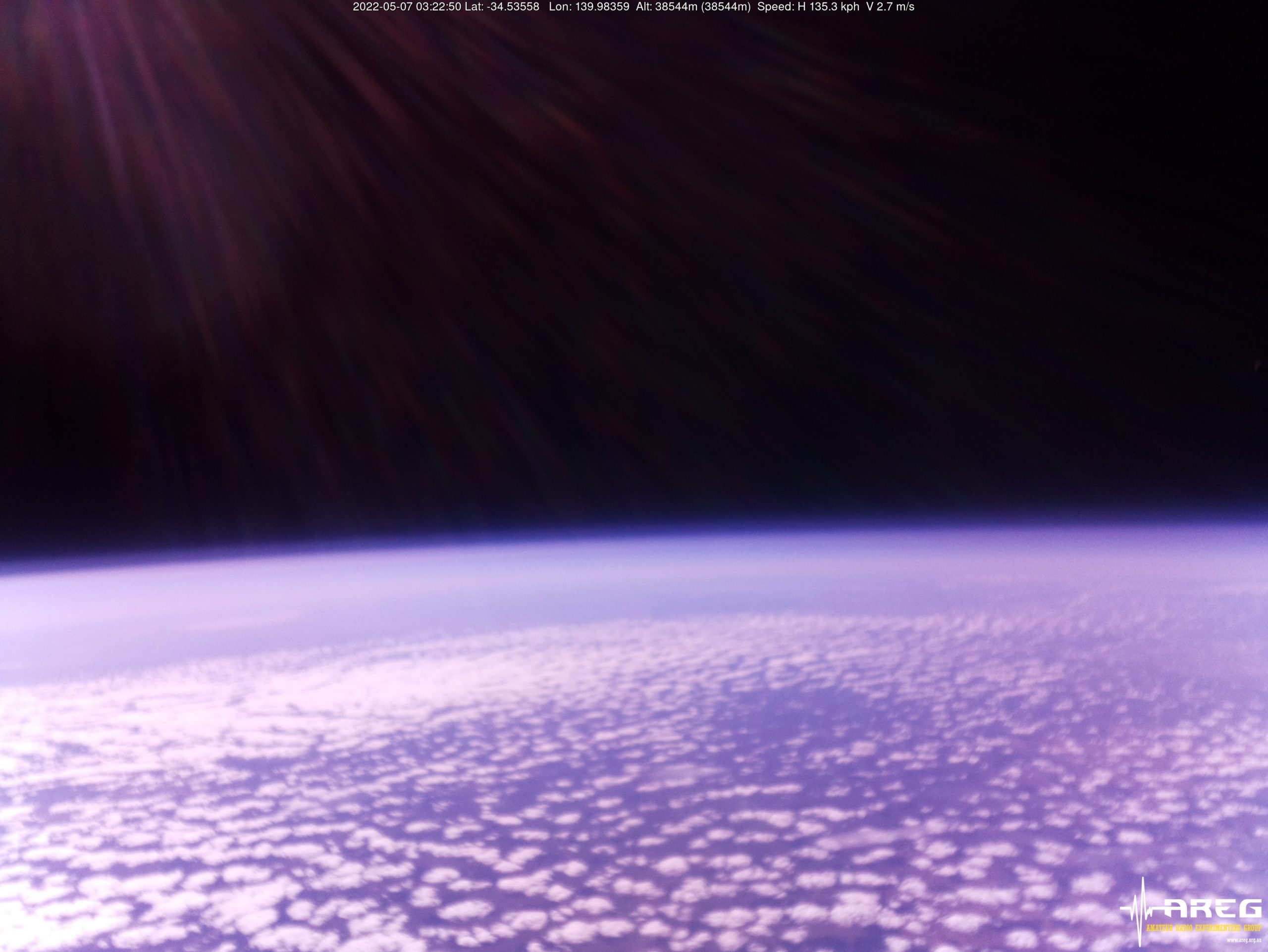
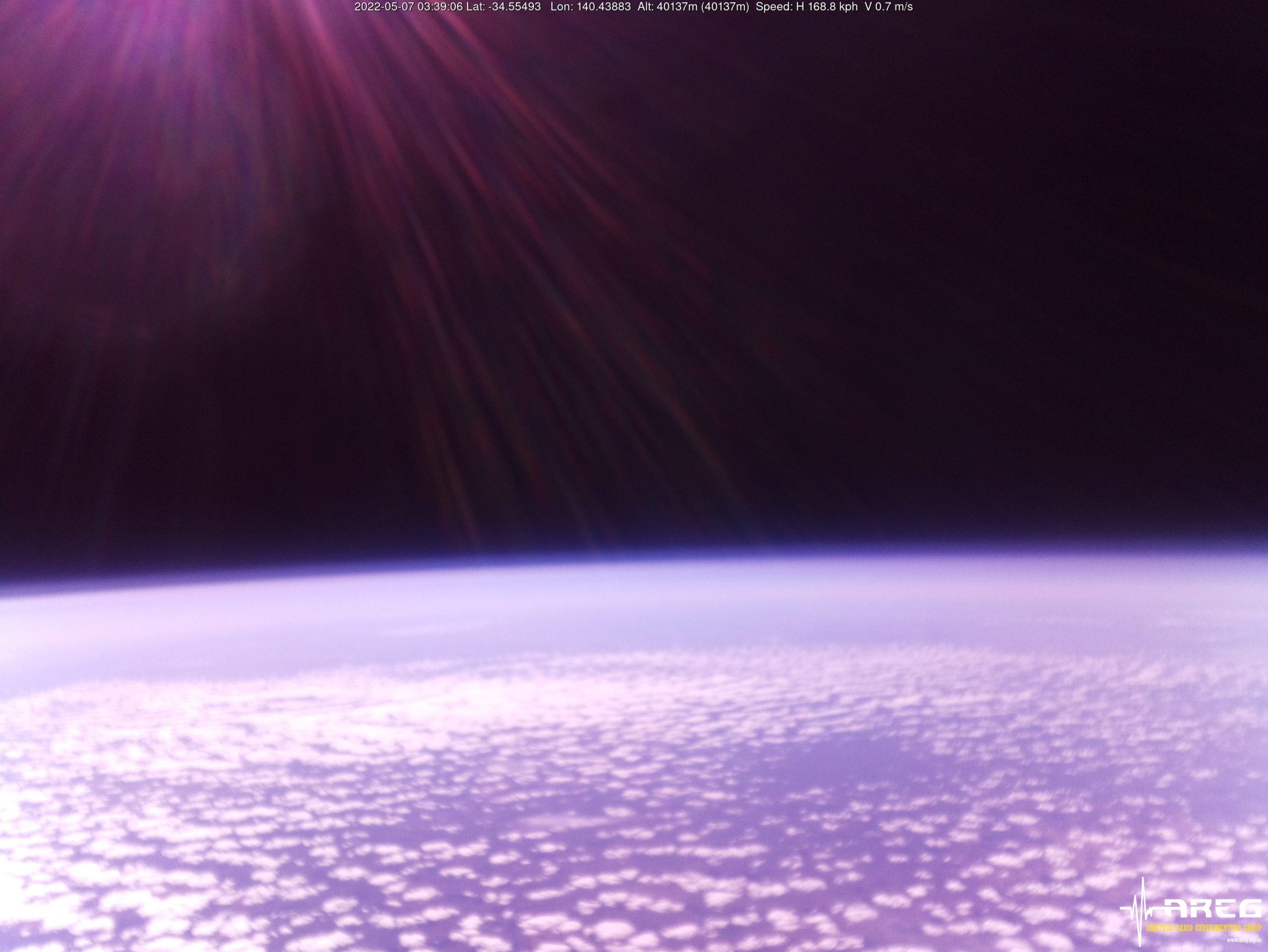
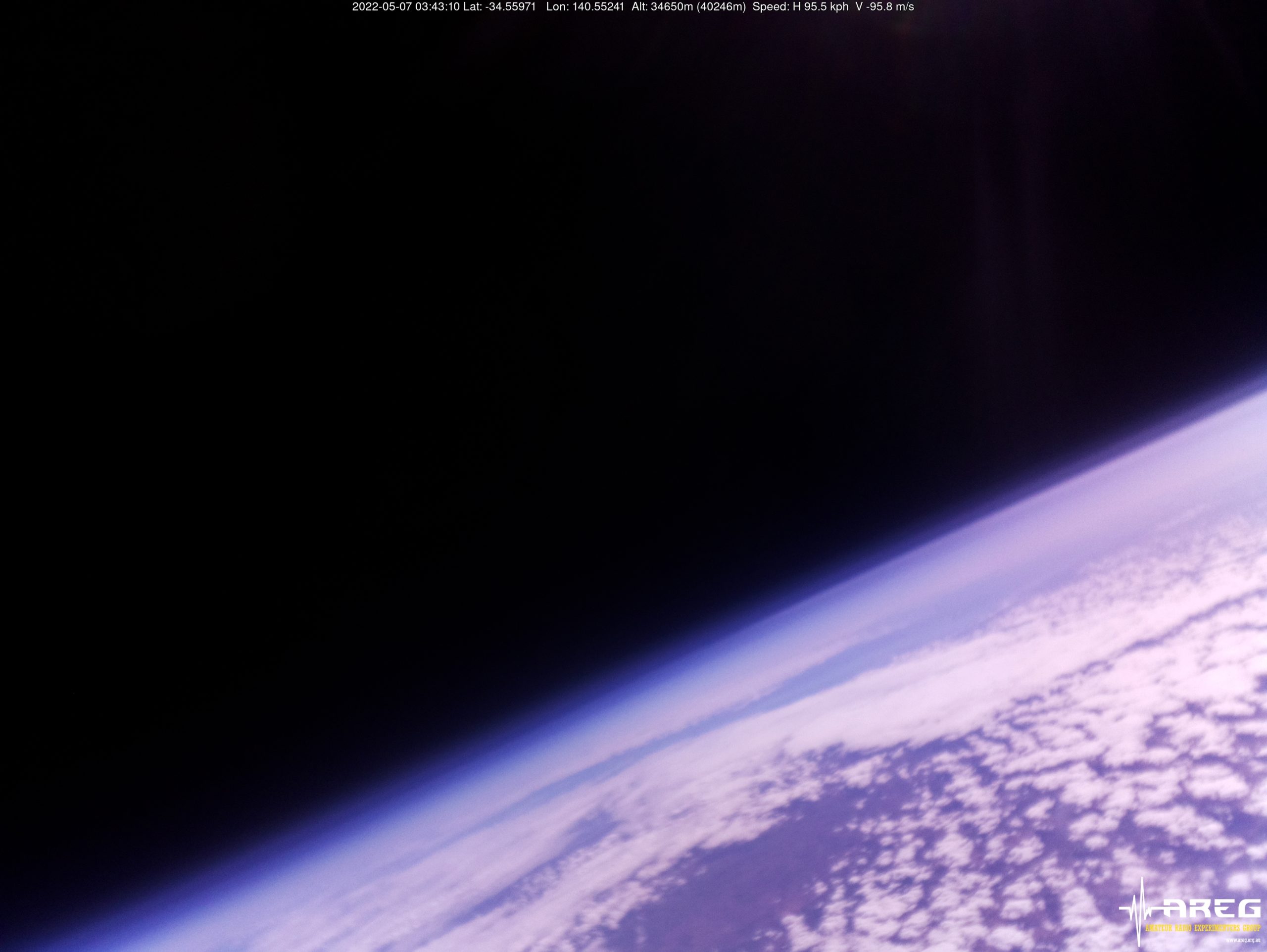
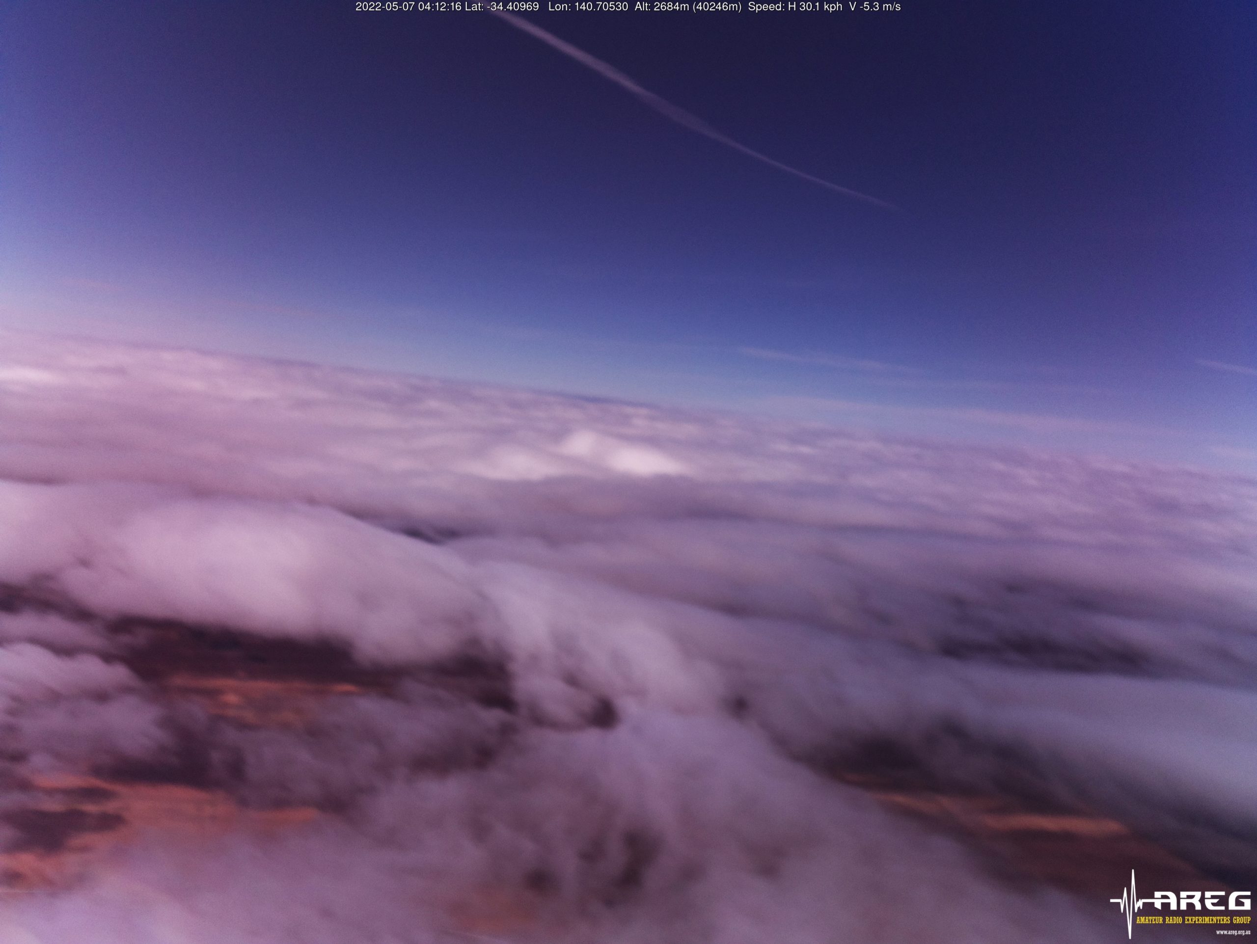
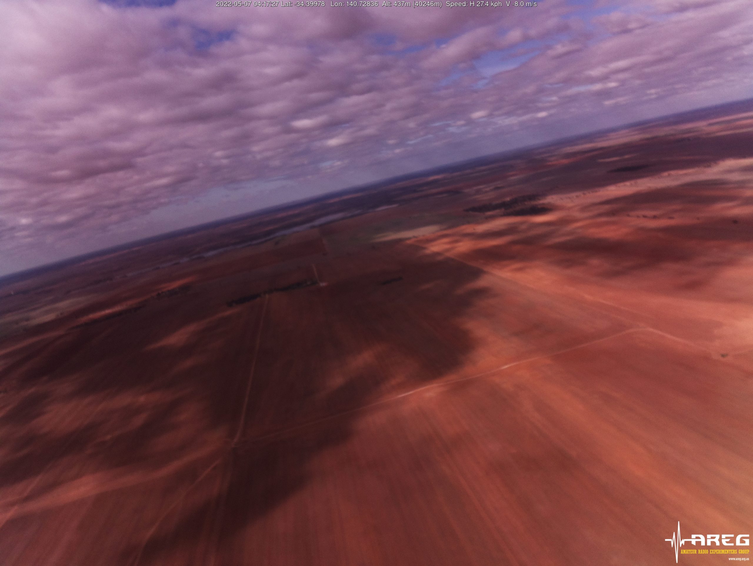
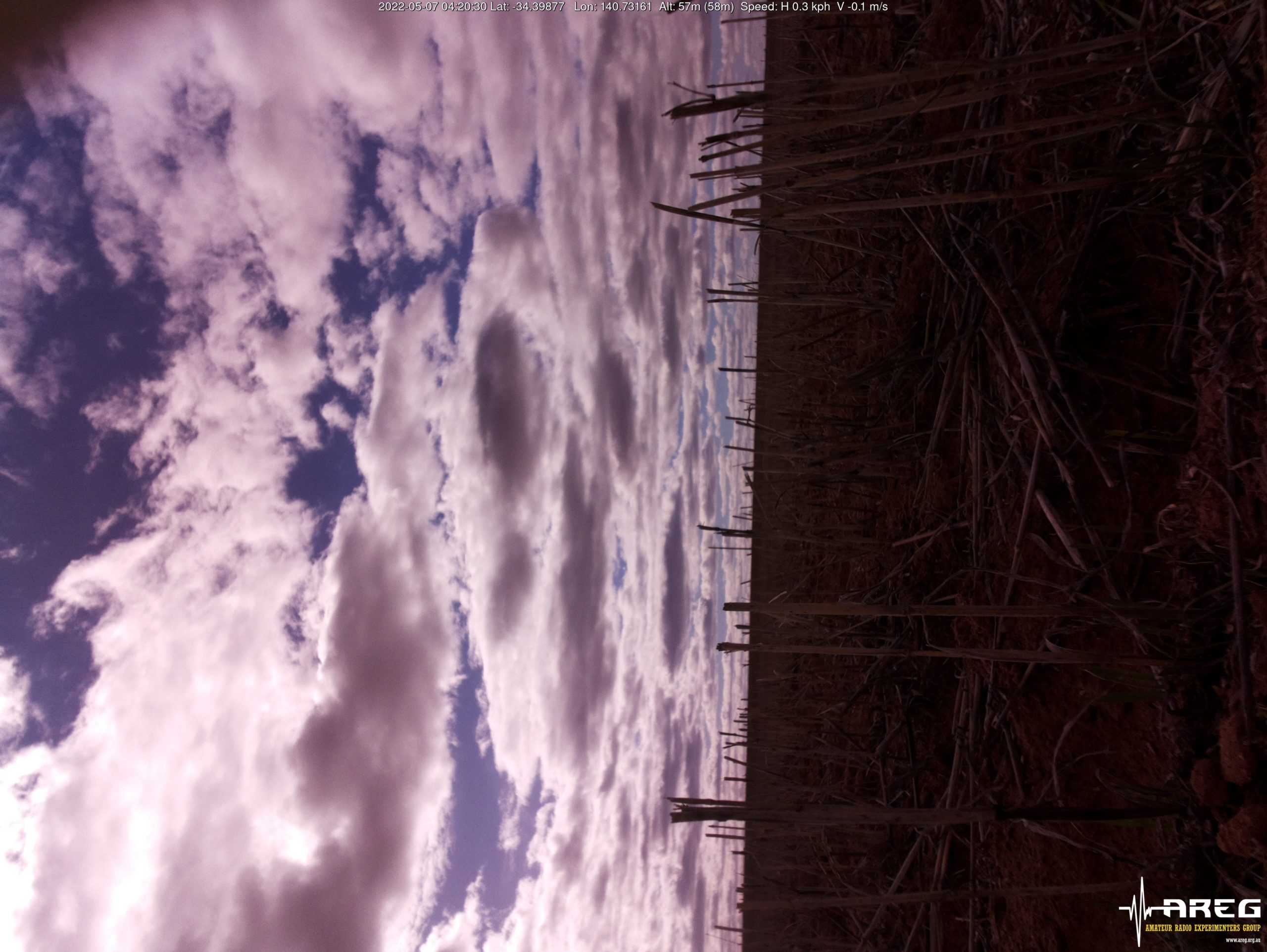
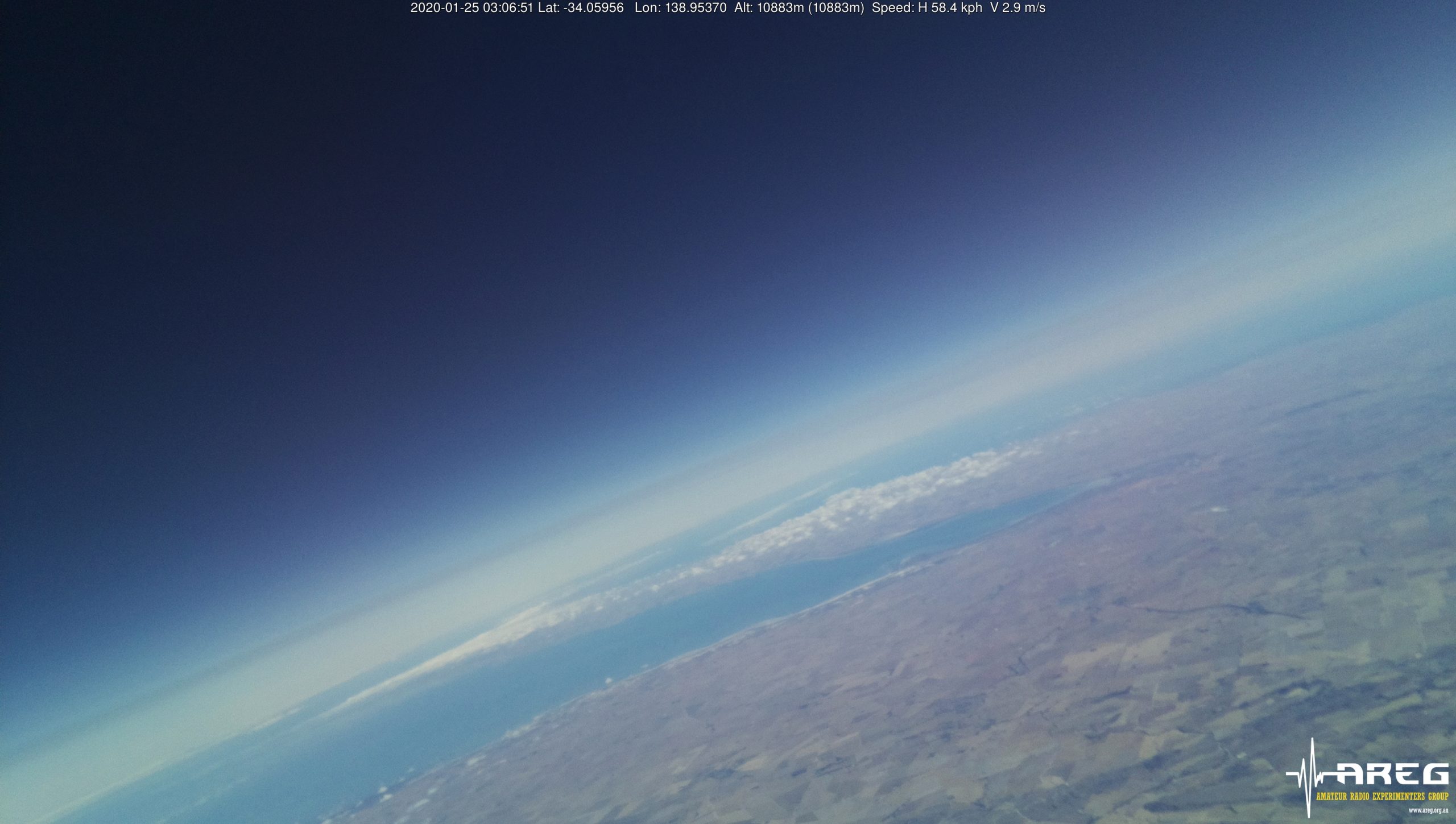
Wenet Payload Results
The new camera (A Raspberry Pi Camera v3) under trial on this launch produces images with excellent colour and low distortion, however as it ascended the lens started to de-focus, resulting in all the images above a few km altitude being quite blurry.
This is most likely due the extreme cold the camera was subjected to resulting in physical variation of the lens-to-sensor spacing. Whether this can be compensated for will be determined through some on-ground experiments (dry ice might be involved…), though it’s likely we’ll look at other camera options for future launches.
A selection of photos taken by the Wenet payload camera are shown in the following gallery:
LoRaWAN Payload Results
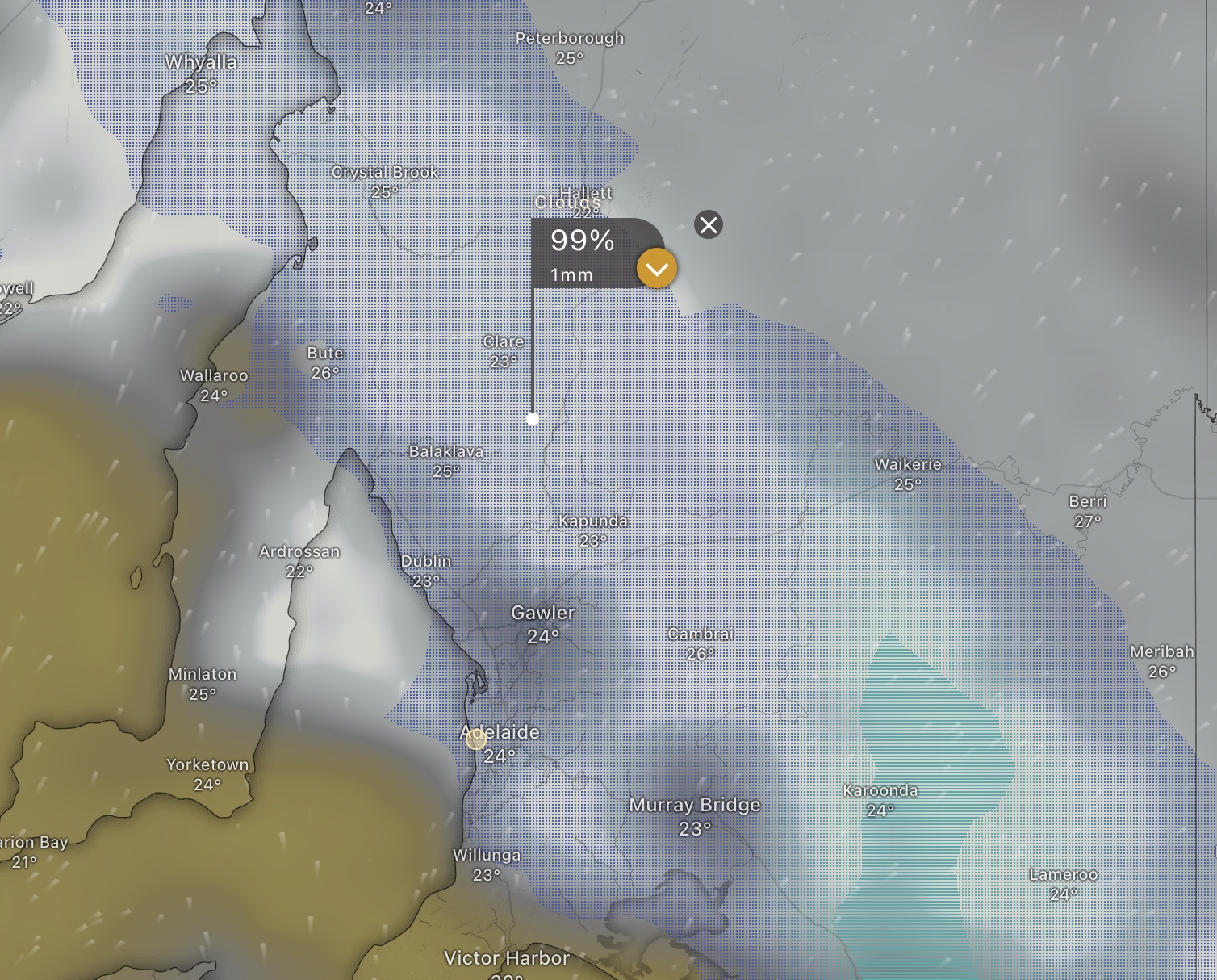
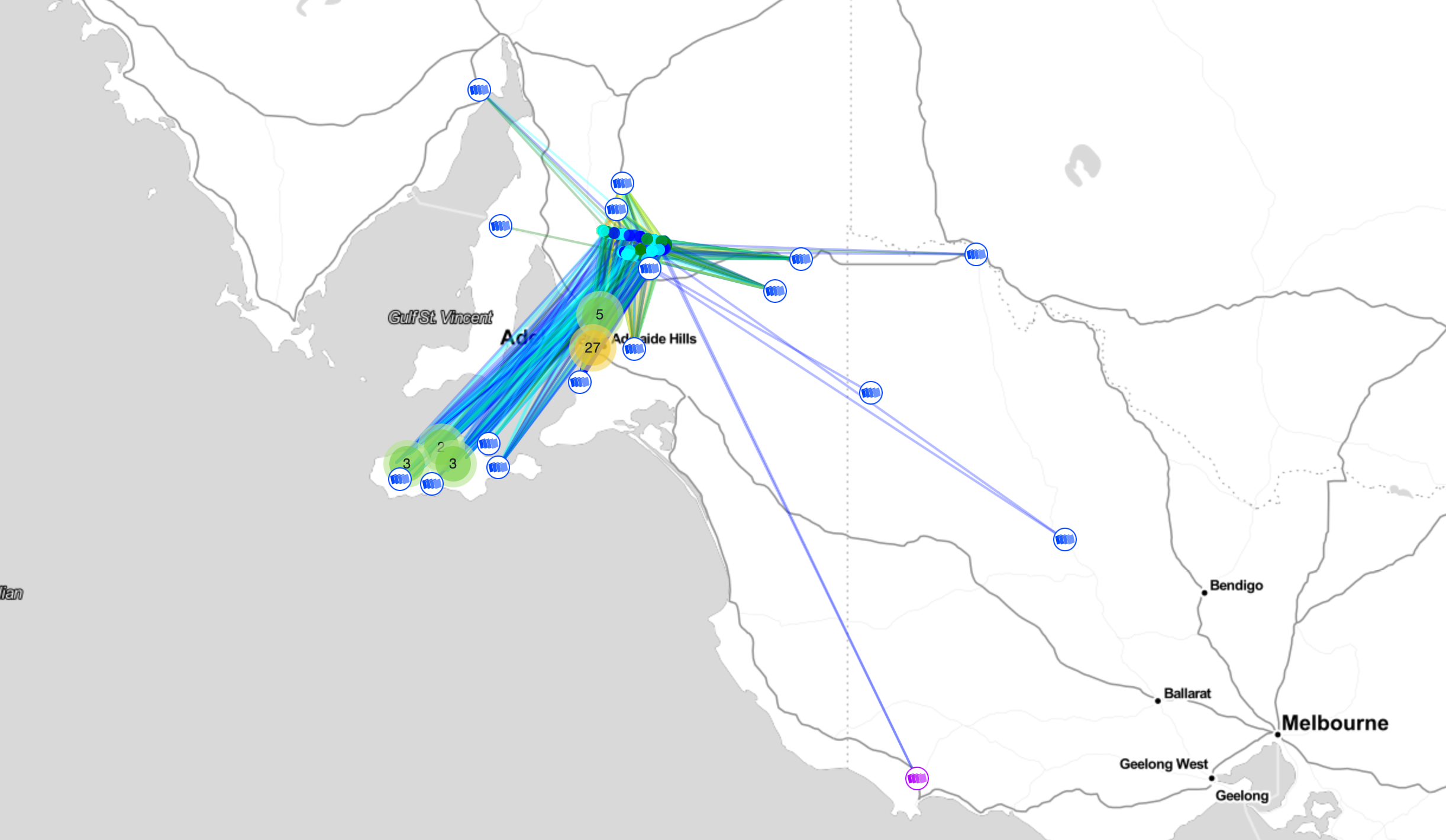
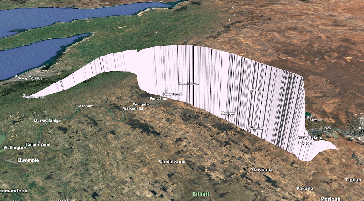
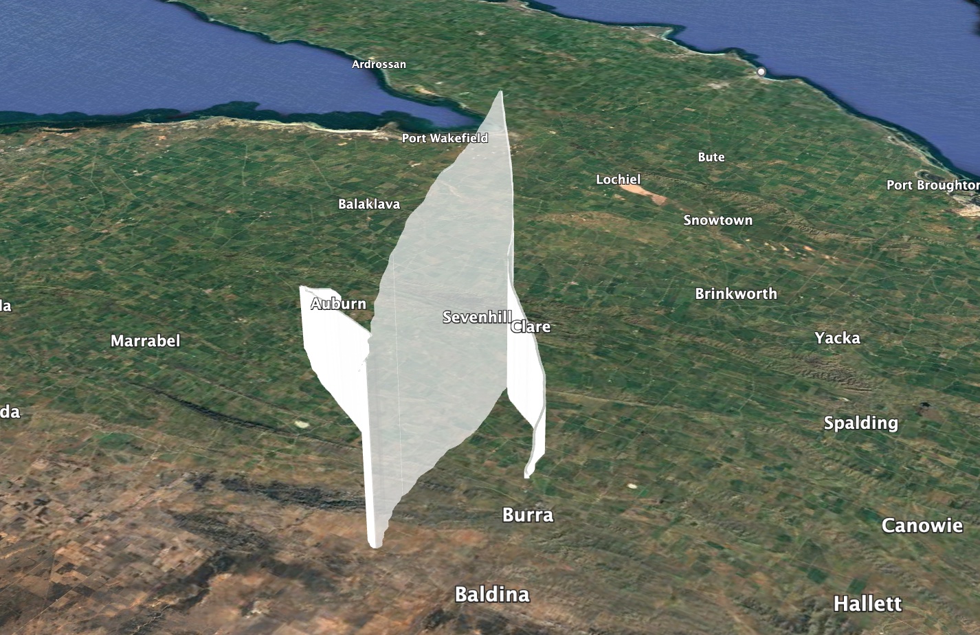
On this flight Liam’s LoRaWAN payload featured an upgraded antenna, and even though the maximum altitude of this flight was 500m below when the LoRaWAN payload was previous flown (Horus 58), it was received another 50km further afield, by a TheThingsNetwork station in Ballarat, Victoria. We’ll try out this payload again on future launches, hoping to get even longer reception reports!
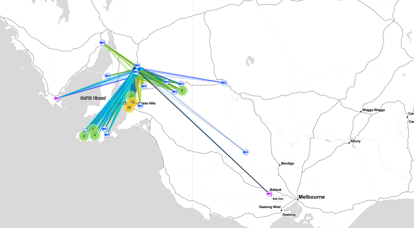
LoRaWAN Payload Coverage Map
Receiver Statistics – Horus Binary Telemetry
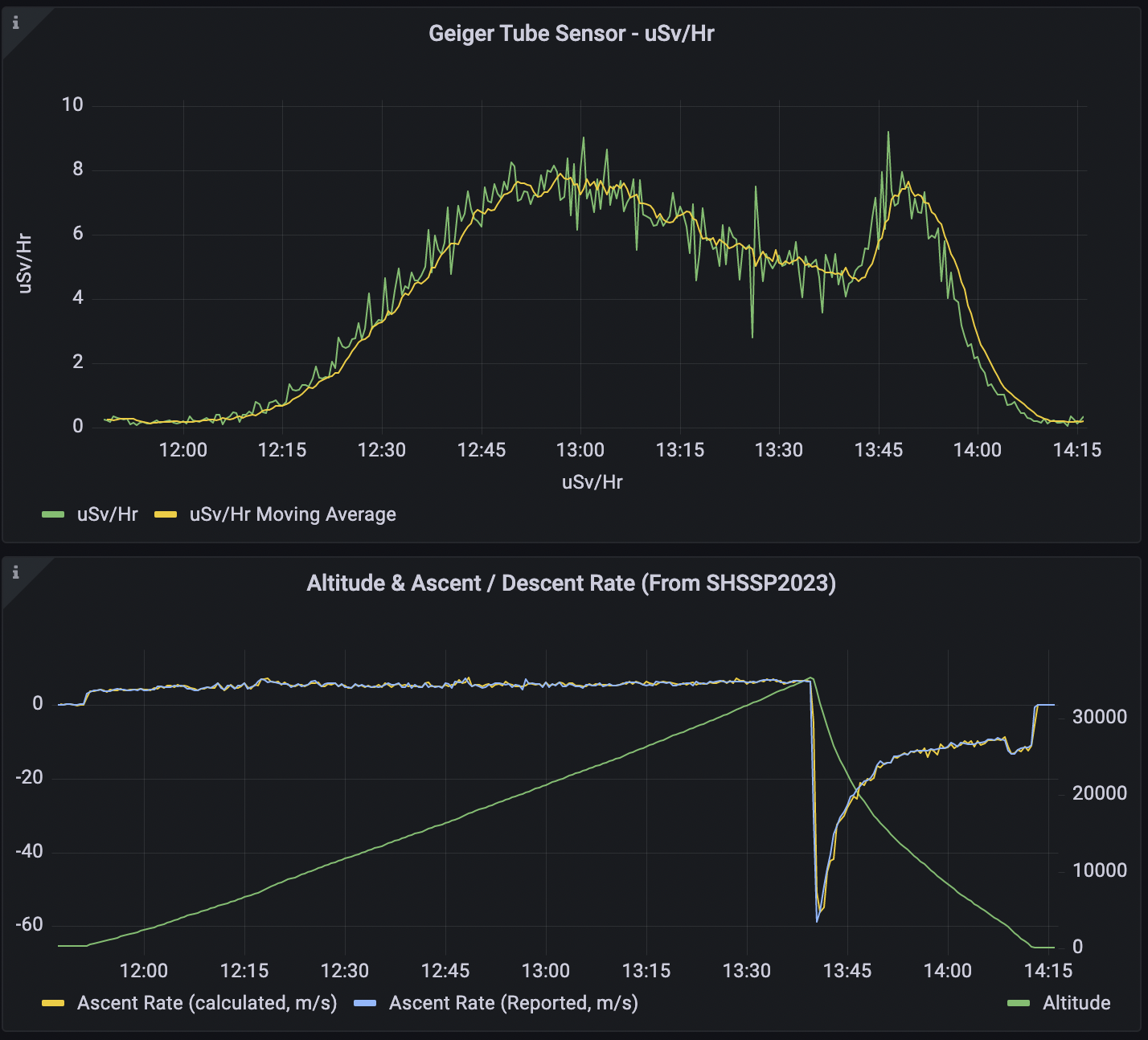
The Horus Binary payload proved to be as reliable as ever, reporting position and sensor data throughout the flight. A Grafana dashboard summarising the telemetry data from the flight is available here.
We saw a total of 25 unique callsigns receiving on this flight, with reception statistics for each station shown below:
Horus 59 - HORUS-V2 Receiver Statistics
| Callsign | Received Packets | Percentage of Flight Received | First-Received Altitude (m) | Last-Received Altitude (m) |
|---|---|---|---|---|
| BARC-RRR | 16 | 0.9% | 11576 | 3437 |
| N0CALL | 1 | 0.1% | 3347 | 3347 |
| VK3TNU pi3-3 | 841 | 45.0% | 13424 | 15292 |
| VK5AJQ | 1413 | 75.7% | 9021 | 1681 |
| VK5AKH | 940 | 50.3% | 6888 | 536 |
| VK5AKK | 1763 | 94.4% | 550 | 1030 |
| VK5ALG | 1707 | 91.4% | 726 | 1427 |
| VK5ALG-9 | 1812 | 97.1% | 311 | 536 |
| VK5APR | 1 | 0.1% | 1081 | 1081 |
| VK5ARG | 1834 | 98.2% | 309 | 570 |
| VK5CLD-9 | 1518 | 81.3% | 310 | 536 |
| VK5DJ | 982 | 52.6% | 10405 | 12276 |
| VK5DSP-hab | 1368 | 73.3% | 7775 | 4207 |
| VK5EME-5 | 1814 | 97.2% | 638 | 1342 |
| VK5FADE | 82 | 4.4% | 1936 | 4044 |
| VK5HI | 16 | 0.9% | 14690 | 14867 |
| VK5IS | 1848 | 99.0% | 406 | 570 |
| VK5KX#2 | 93 | 5.0% | 11438 | 13232 |
| VK5KX-9 | 1649 | 88.3% | 669 | 570 |
| VK5KX-i5 | 552 | 29.6% | 13942 | 570 |
| VK5LN | 1551 | 83.1% | 4373 | 5363 |
| VK5NEX | 1786 | 95.7% | 1295 | 1342 |
| VK5NTM | 1777 | 95.2% | 1842 | 806 |
| VK5QI-9 | 1645 | 88.1% | 310 | 606 |
| VK5ST-4 | 1507 | 80.7% | 726 | 1797 |
| VK5ZBI | 1070 | 57.3% | 6739 | 3600 |
| VK5ZQV | 564 | 30.2% | 14069 | 30447 |
Horus 59 - HORUSGEIGER Receiver Statistics
| Callsign | Received Packets | Percentage of Flight Received | First-Received Altitude (m) | Last-Received Altitude (m) |
|---|---|---|---|---|
| BARC-RRR | 1554 | 83.0% | 1011 | 890 |
| VK3TNU pi3-3 | 900 | 48.1% | 11821 | 15415 |
| VK5AKH | 820 | 43.8% | 6884 | 562 |
| VK5AKK | 1737 | 92.8% | 567 | 1697 |
| VK5ALG | 1737 | 92.8% | 639 | 1929 |
| VK5ALG-9 | 1802 | 96.3% | 312 | 500 |
| VK5ARG | 1828 | 97.6% | 312 | 598 |
| VK5CLD-9 | 1676 | 89.5% | 312 | 500 |
| VK5CV | 1478 | 79.0% | 987 | 3986 |
| VK5DSP-hab | 1342 | 71.7% | 7779 | 6660 |
| VK5KX-9 | 1802 | 96.3% | 733 | 530 |
| VK5QI-9 | 1816 | 97.0% | 311 | 530 |
| VK5ST-4 | 1789 | 95.6% | 639 | 1122 |
| VK5SWR | 60 | 3.2% | 22239 | 23376 |
Receiver Statistics – Wenet Imagery
This flight saw 10 receiver stations contributing packets to the live imagery on https://ssdv.habhub.org/. Thanks to all that helped out with this!
VK5LO: 63593 packets (15.53 MB)
VK5IS: 126191 packets (30.81 MB)
VK3TNUpi4-1: 7311 packets (1.78 MB)
VK5CLD-9: 40111 packets (9.79 MB)
VK5PW: 110448 packets (26.96 MB)
VK5KX: 56684 packets (13.84 MB)
VK5AKH: 40550 packets (9.90 MB)
VK5QI: 146240 packets (35.70 MB)
VK5ALG: 98107 packets (23.95 MB)
VK5ST: 638 packets (0.16 MB)
Conclusion
Even with some payload issues, Horus 59 was a successful launch and saw lots of AREG club members get involved in the planning, execution, and chase aspects of the flight. Thanks to all that came out for the day, and also thanks to those that helped receive telemetry throughout the flight!
Project Horus’ next launch will likely not be for a few months, and will hopefully see the return of the DVB-S transmitter payload, and live video from the stratosphere!
Horus 59 - Flight Statistics
| Metric | Result |
|---|---|
| Flight Designation: | Horus 59 |
| Launch Date: | 2023-02-25 23:29Z |
| Landing Date: | 2023-02-26 01:42Z |
| Flight Duration: | ~2 hours, 12 min |
| Launch Site: | -34.02935, 138.69128 |
| Landing Site: | -33.70648, 138.88831 |
| Distance Traveled: | 40 km |
| Maximum Altitude: | 32,807 m |