
Update: Thanks to everyone that helped out with this launch! A full writeup will be published in the coming weeks.
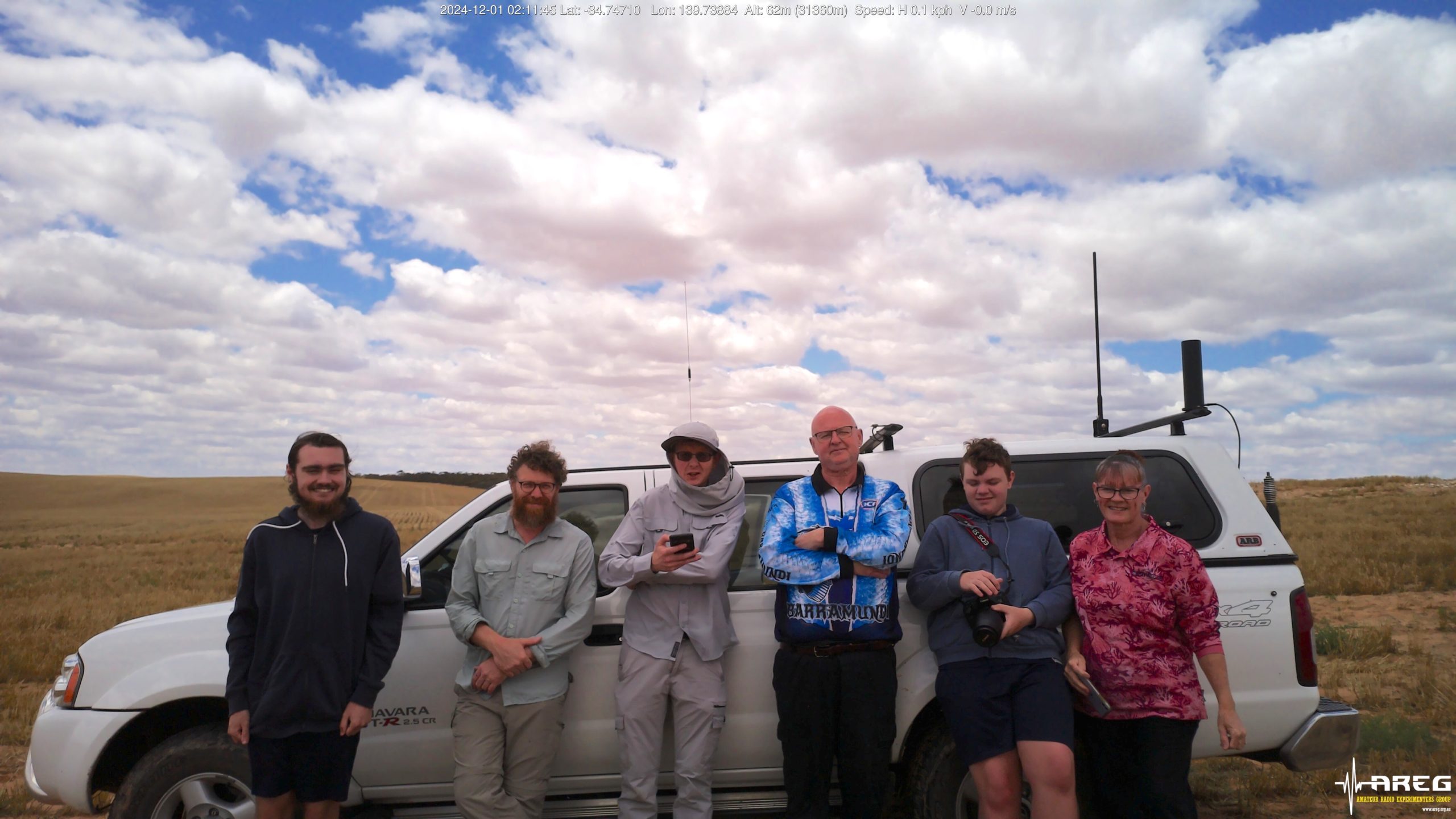
AREG’s High-Altitude Ballooning sub-group, Project Horus, is planning their next launch for Sunday the 13th of July, with a planned launch time of 10 AM ACST.
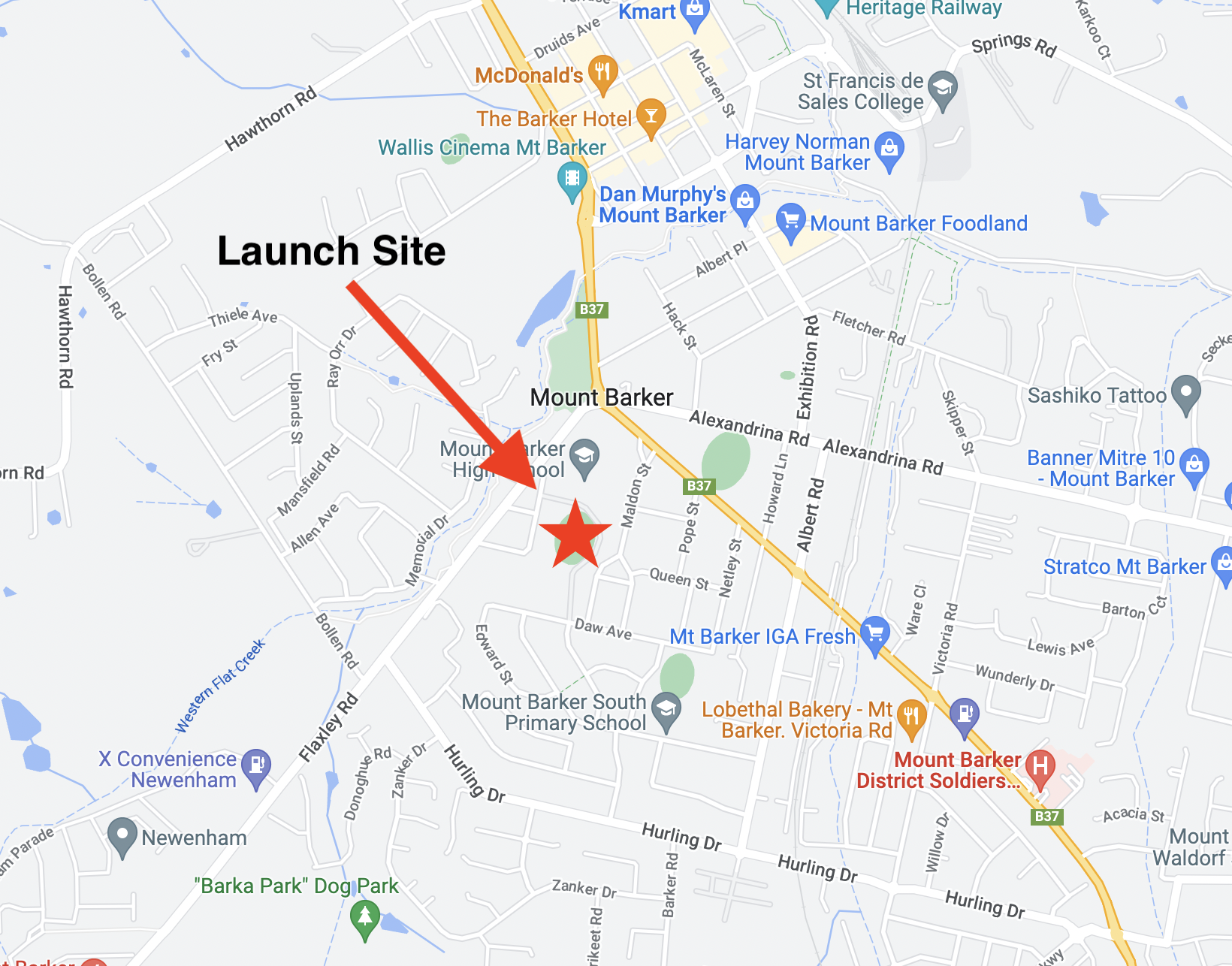
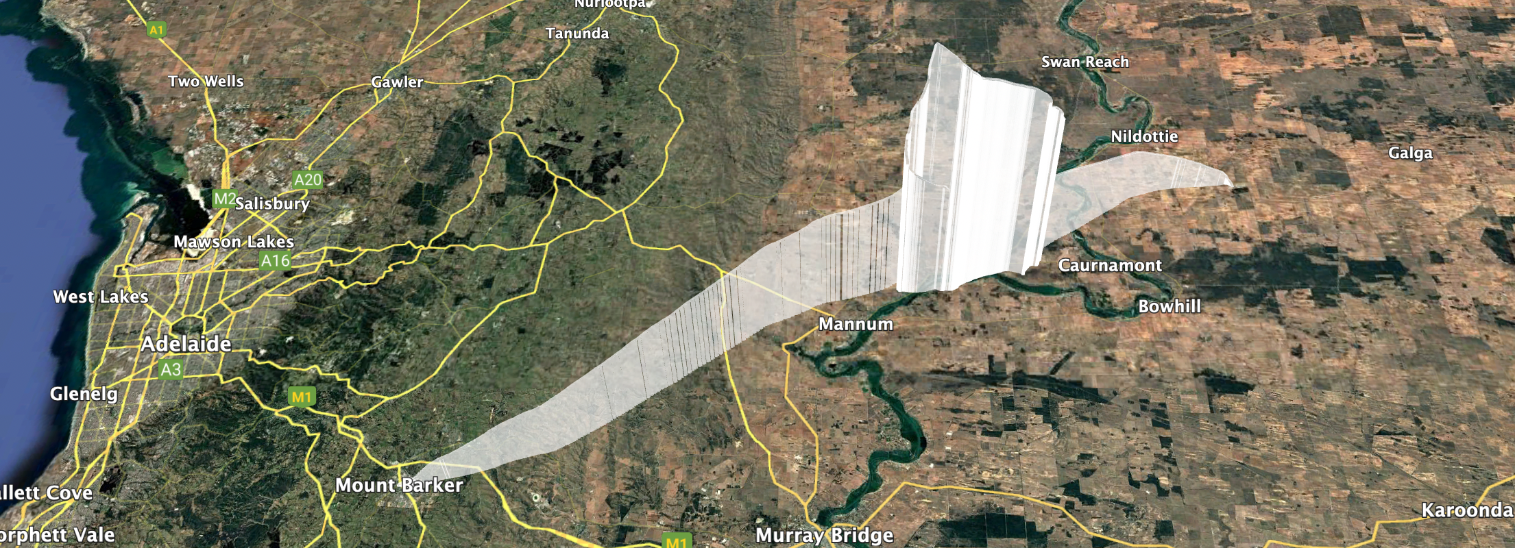
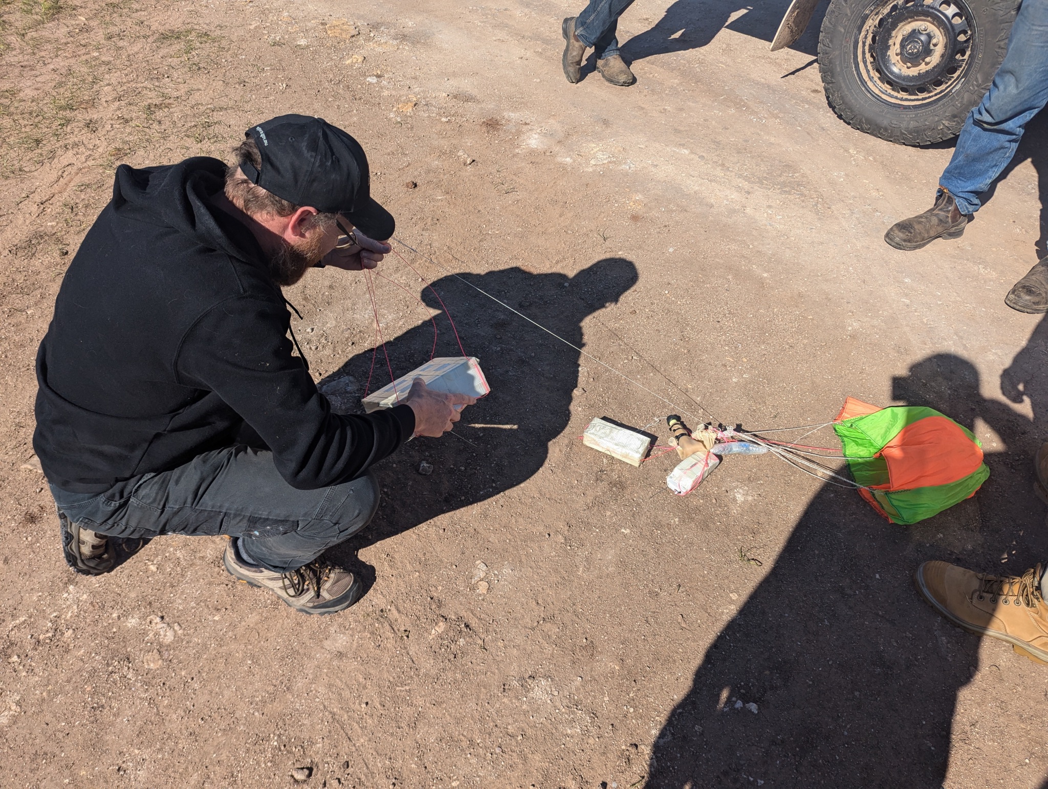
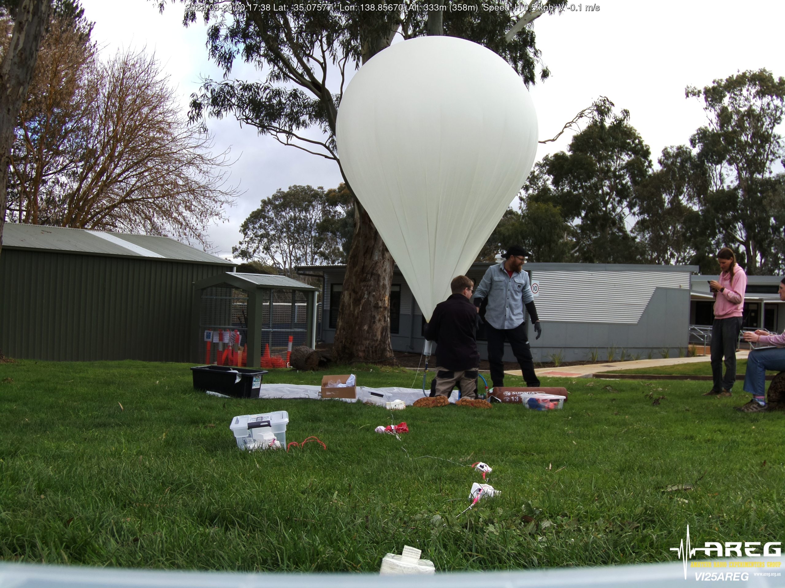
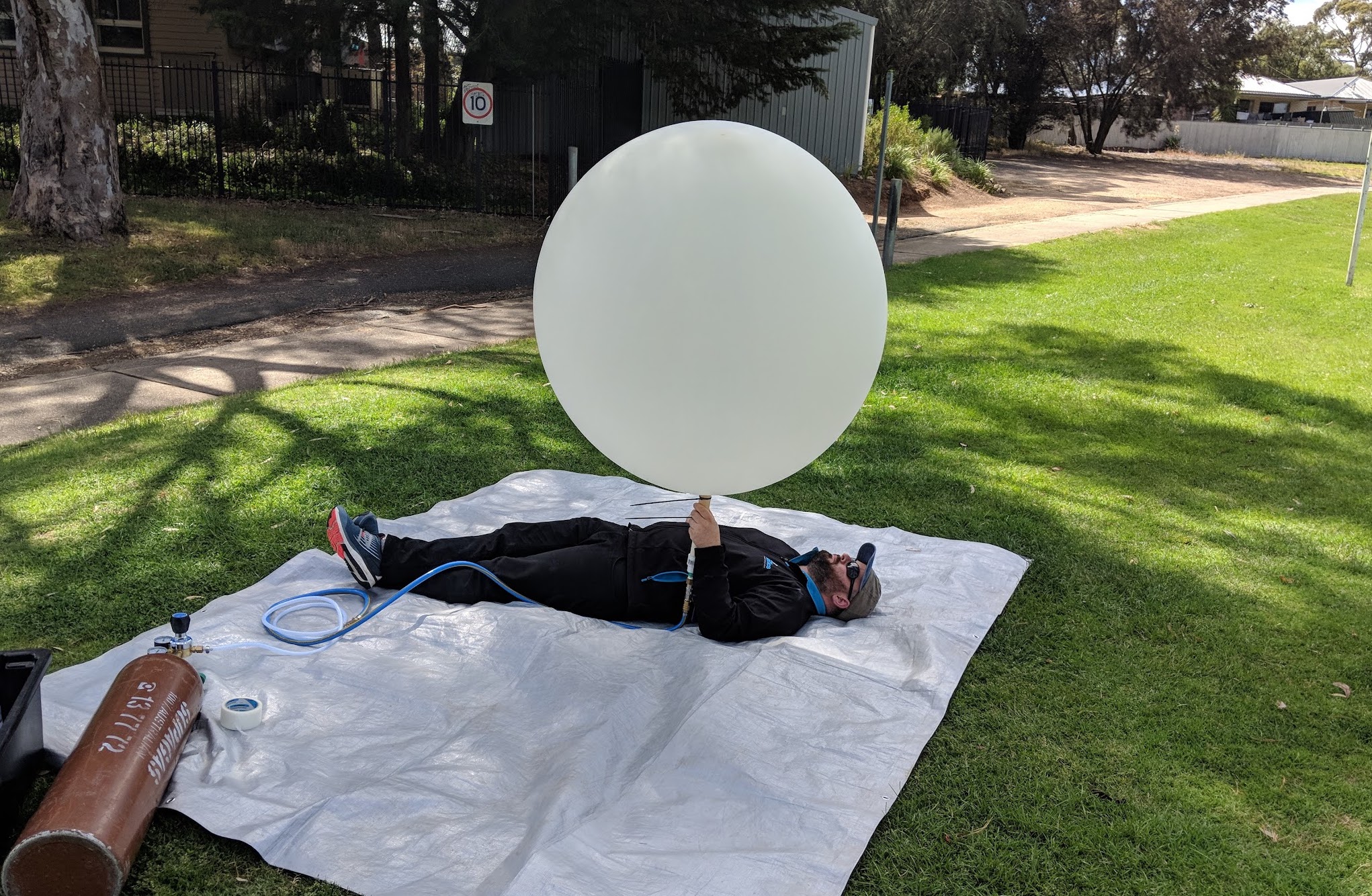
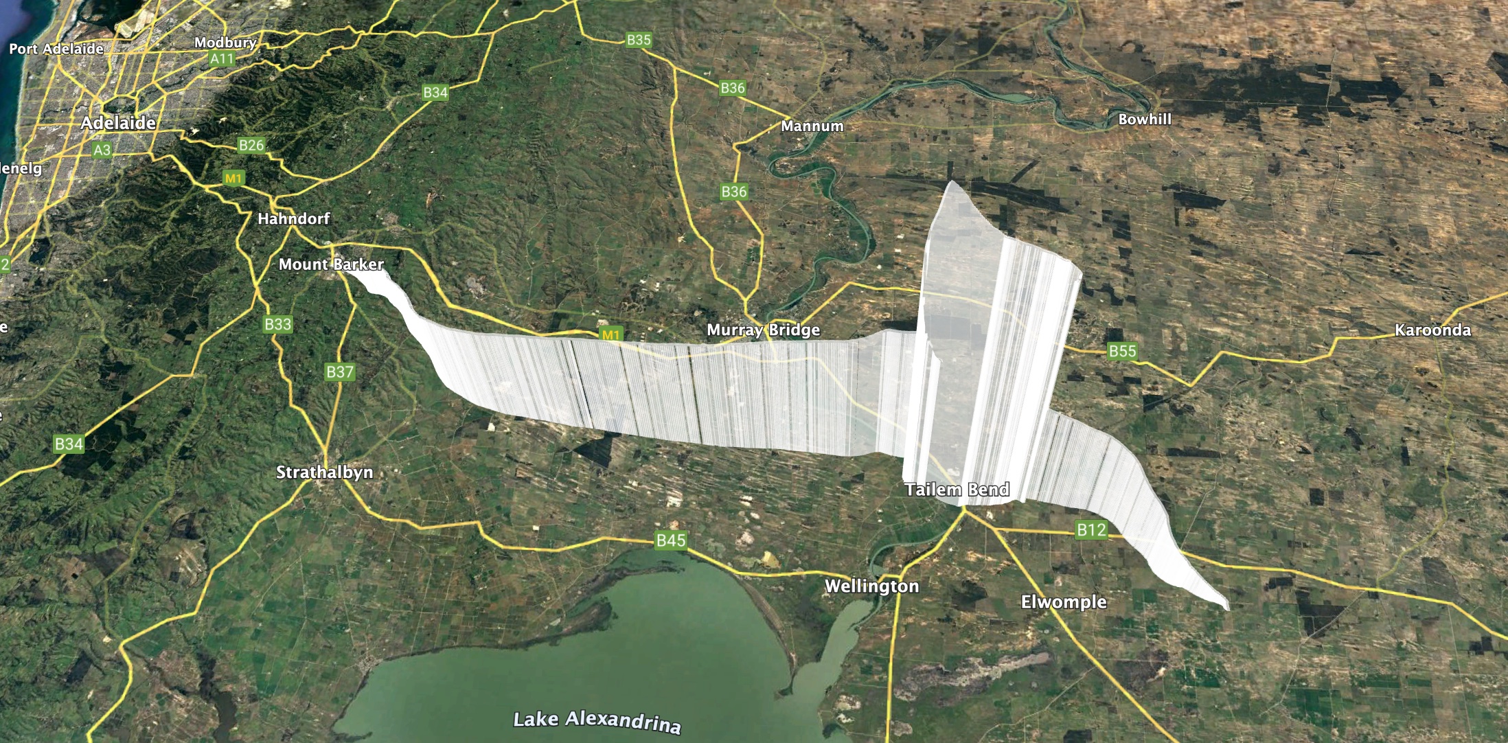
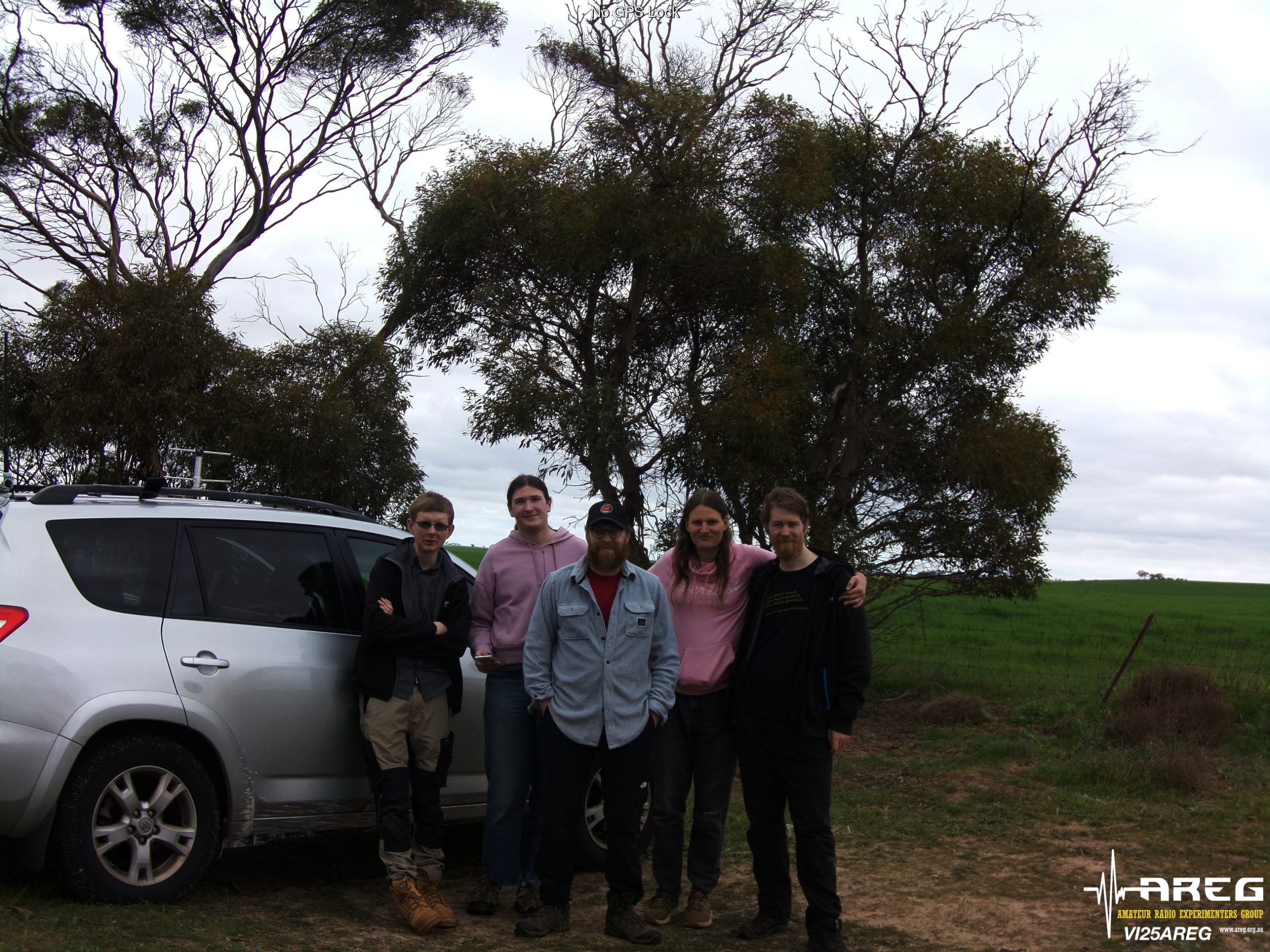
This launch is currently planned to be performed from the Mt Barker High School Oval with the launch team arriving on site from around 9:30 AM. Note that access to the oval is via Stephenson street, and parking near the oval is extremely limited. We are expecting significant wind gusts at the launch site – be prepared!
TRACKING LINKS
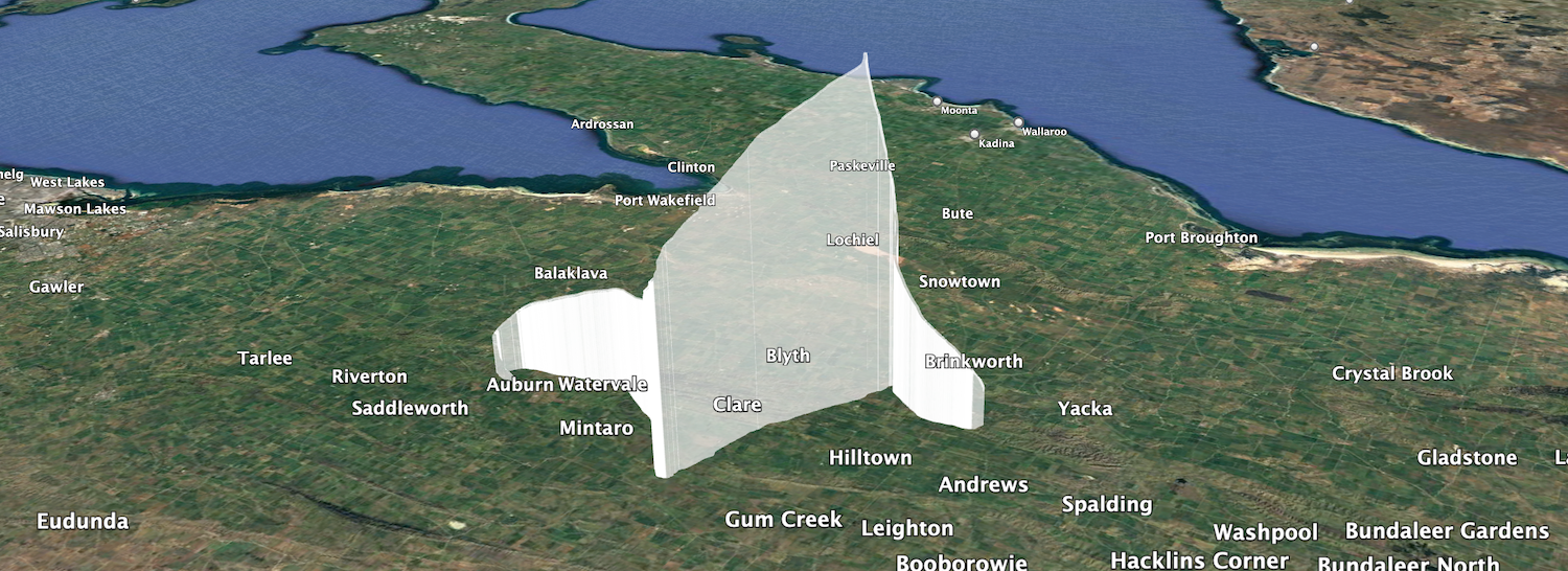
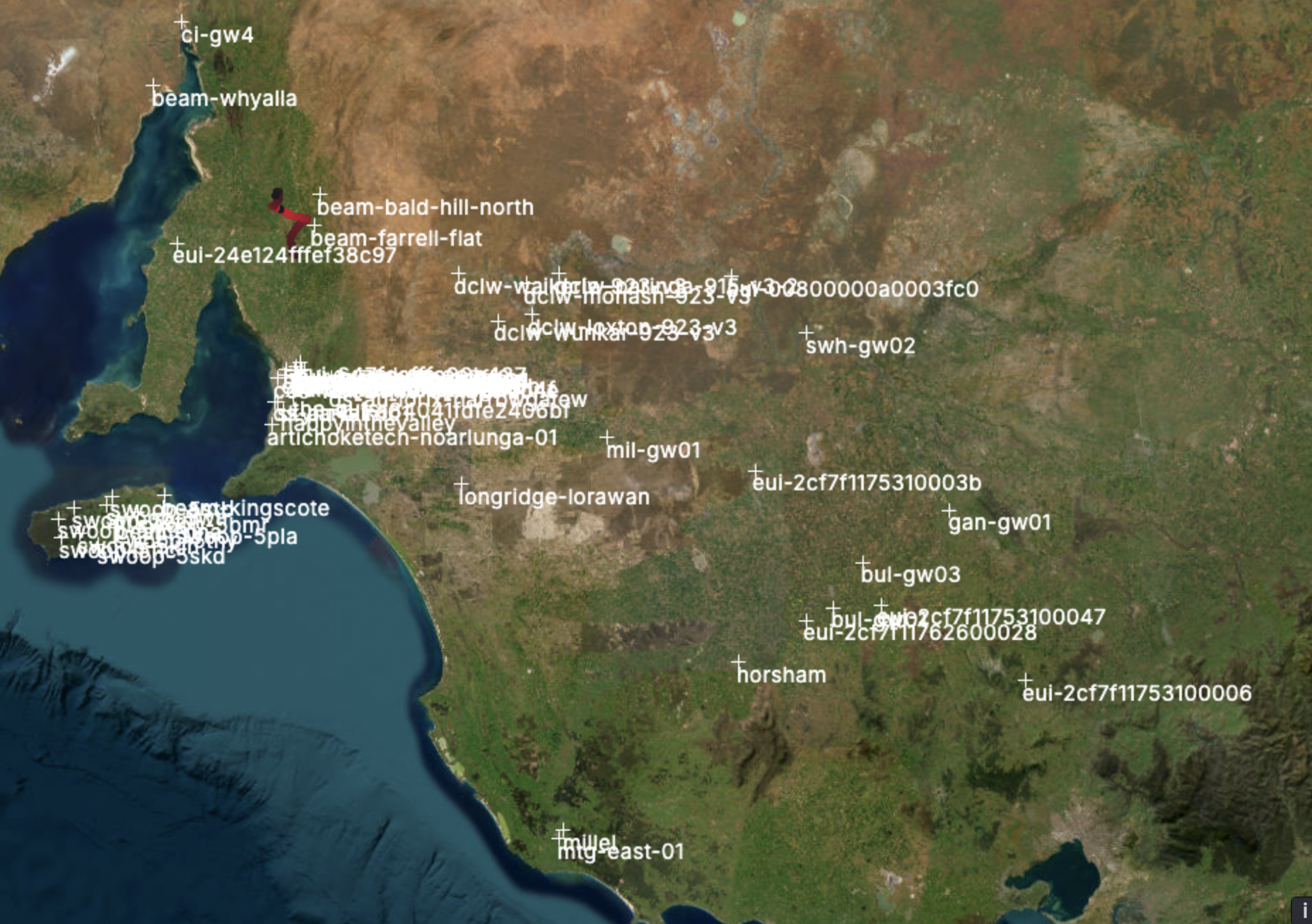
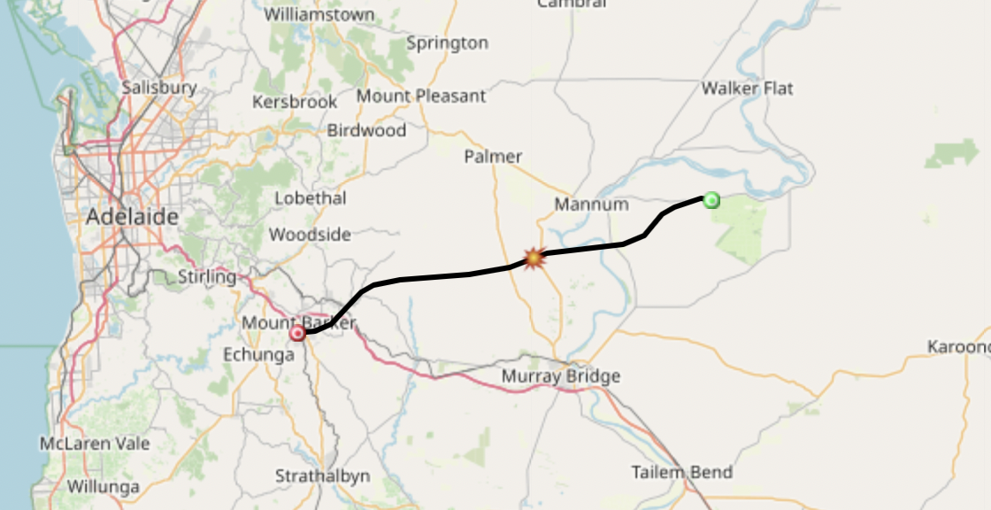
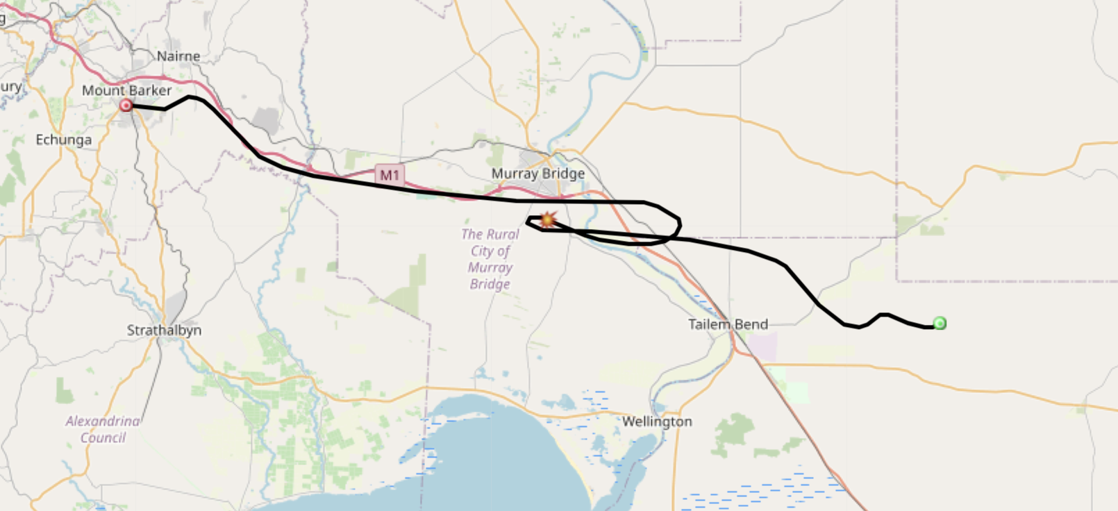
- Flight Tracking via SondeHub-Amateur: https://amateur.sondehub.org/#!mt=Mapnik&mz=9&qm=12h&mc=-35.0677,139.23902
- Live Wenet Imagery: https://ssdv.habhub.org/
- Telemetry Dashboard: Available here
Details of the frequencies in use on this flight are:
- Wenet Imagery on 443.5 MHz. (Now receivable using a web browser! See below!)
- Primary Horus Binary telemetry on 434.200 MHz – callsign ‘ITSWINDY’
On this flight we encourage new listeners to try out our new web-browser-based decoding software for Horus Binary and Wenet – find out more about this further below!
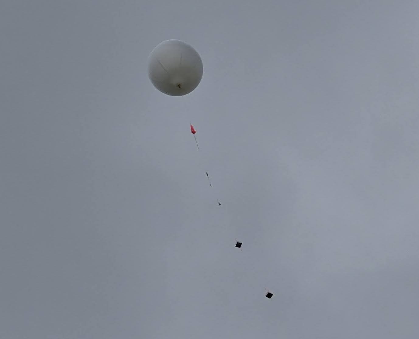
During the flight, all the payloads can be tracked lived on the SondeHub-Amateur tracker here!
Primary Telemetry – Horus Binary 434.200 MHz – HORUS-V2
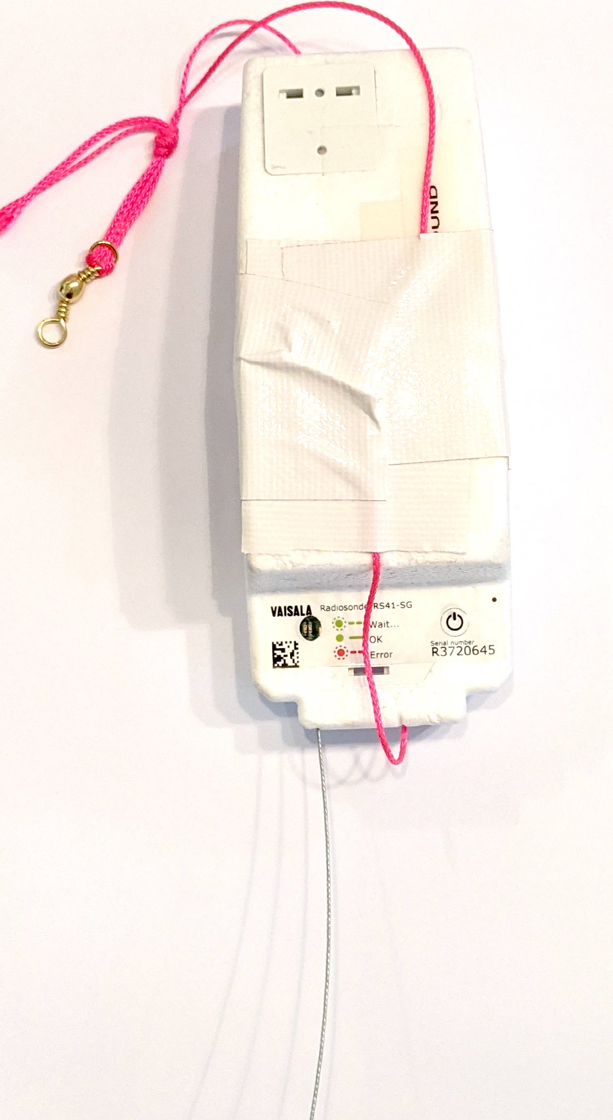 The primary tracking telemetry will be transmitted on 434.200 MHz using the Horus Binary 4FSK data mode. Amateurs in the Adelaide and Central SA region are also encouraged to get involved with the flight through receiving and uploading flight telemetry from our 70cm band tracking beacons. Every piece of telemetry data is valuable to the flight tracking and recovery teams so if you can help join the distributed receiver network to collect that data you will be making an important contribution to the project!
If you try receiving the telemetry from this flight, you’ll need a SSB-capable 70cm receiver (or a SDR), and the Horus-GUI telemetry decoder software. A brief guide on setting this up is available here: https://github.com/projecthorus/horusdemodlib/wiki/1.1-Horus-GUI-Reception-Guide-(Windows-Linux-OSX)
Note that you will need to use a USB ‘dial’ frequency of 434.199 MHz for the 4FSK signal to be centred in your receiver passband and hence be decodable.
Horus Binary telemetry can now also be received using your web browser, using either a SSB receiver or even a RTLSDR!
Click this link to start up a browser-based receiver:
We’ve also got a guide on how to use this here: https://youtu.be/VrgqF7ly-mU
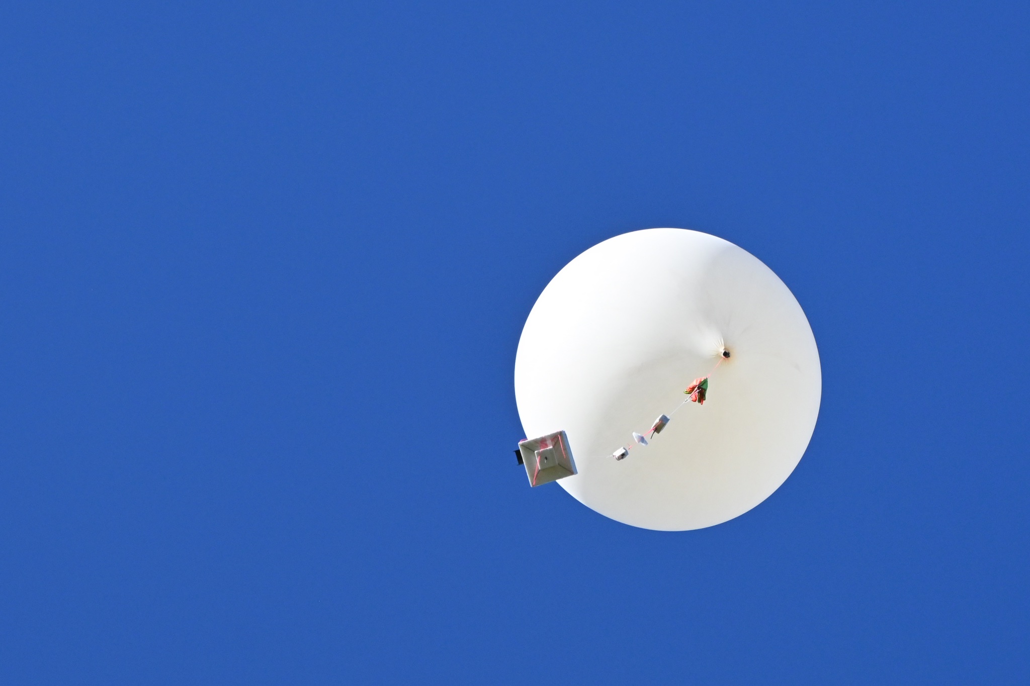
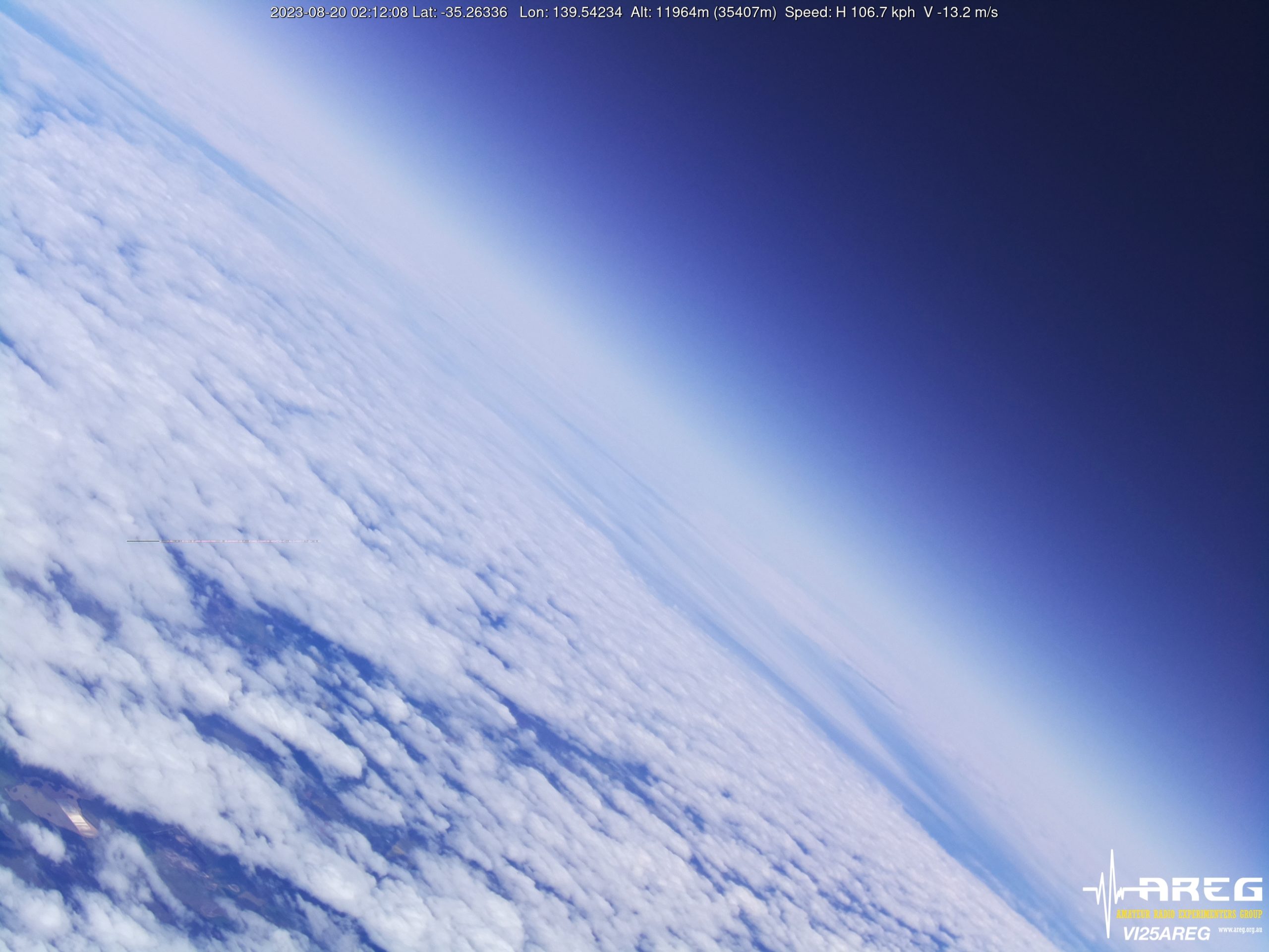
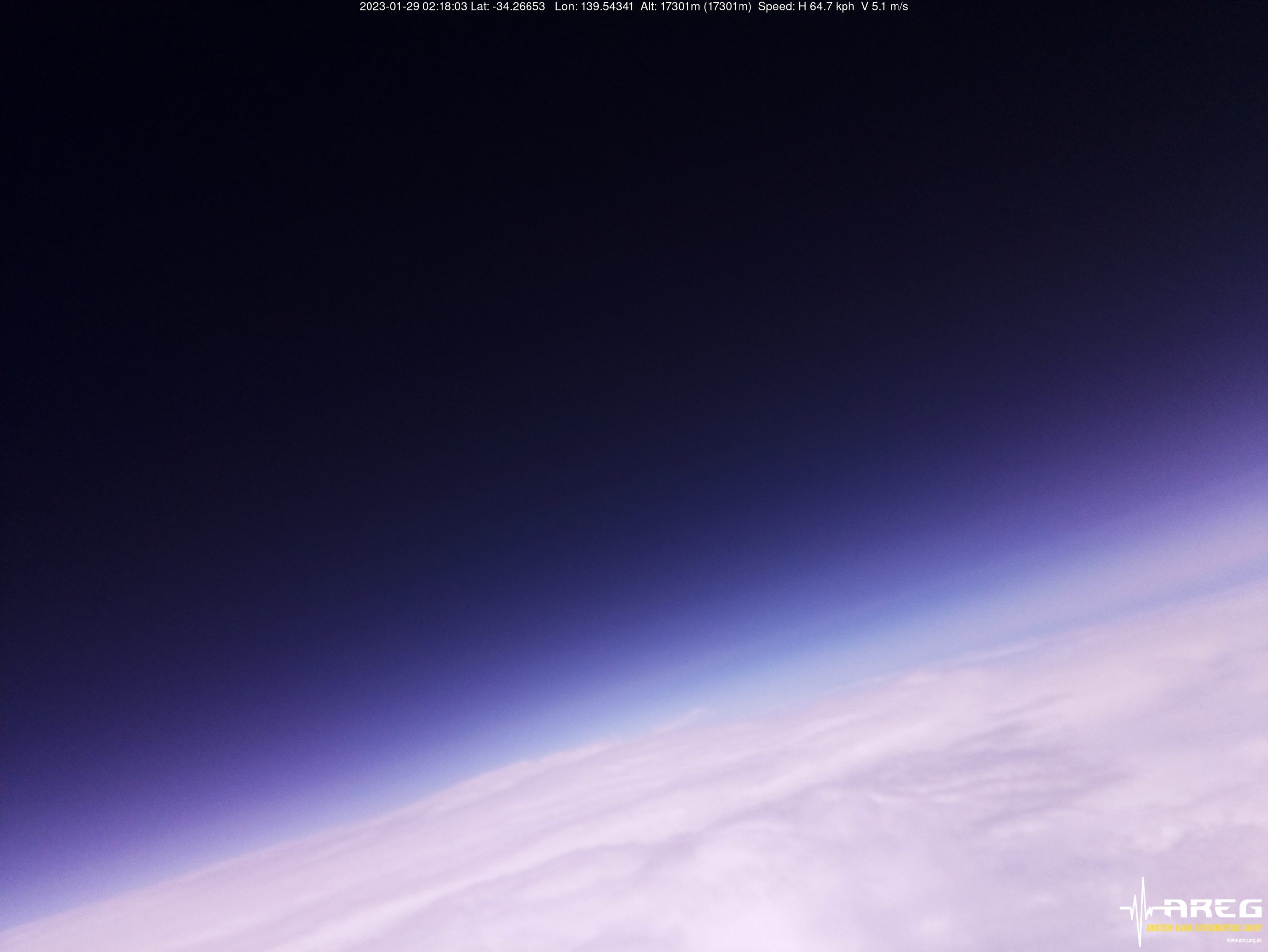
Wenet Imagery – 443.500 MHz
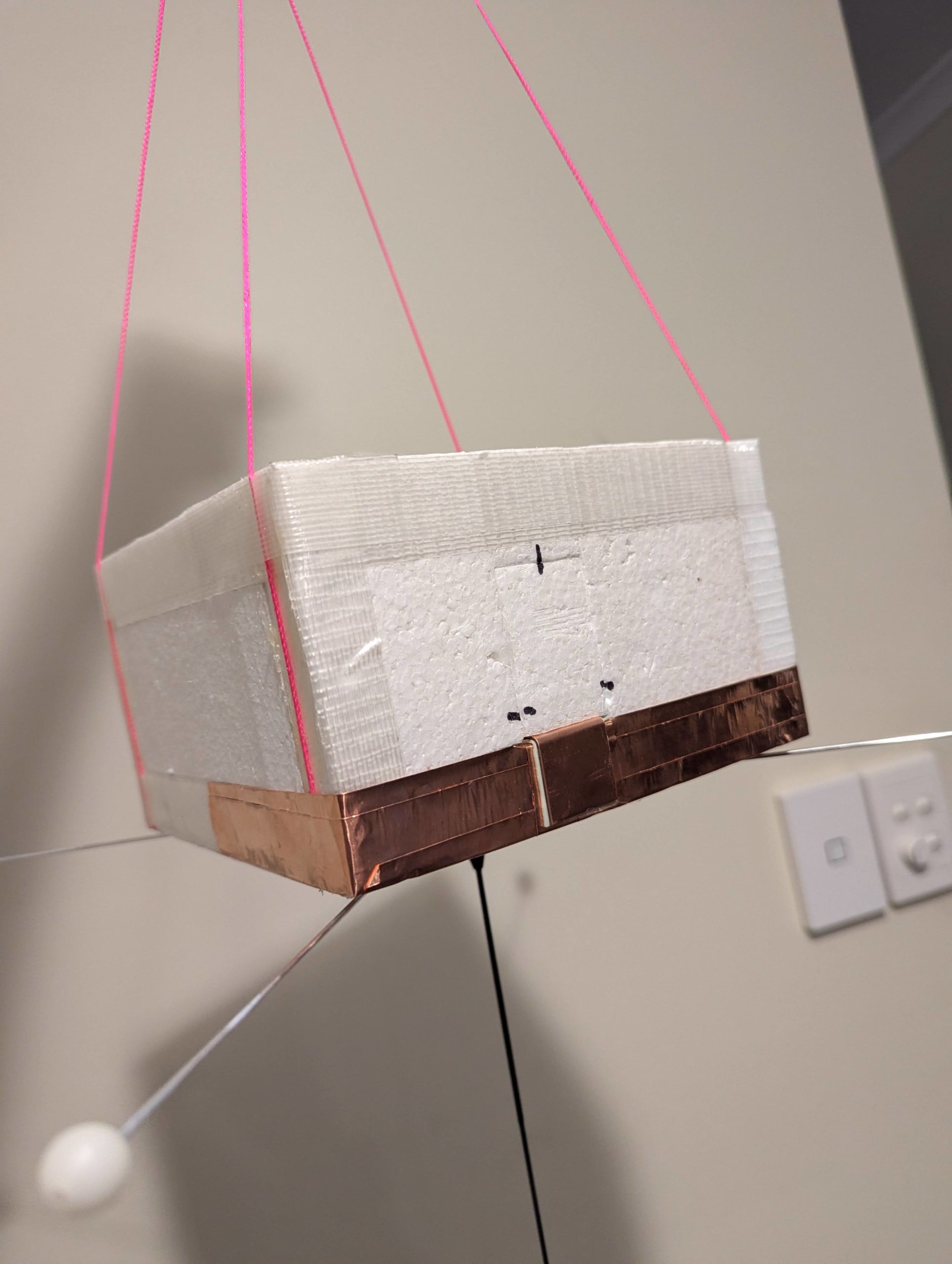
Imagery on this flight will be transmitted via the Wenet downlink system, which uses 115 kbit/s Frequency-Shift-Keying to send HD snapshots. Reception of the Wenet imagery requires a RTLSDR, and a 70cm antenna with some gain (a 5-element Yagi is usually enough).
Wenet can now be received on almost any modern computer, and even some newer android devices, using the new WebWenet software! This operates entirely within a web browser. Information on how to get setup to use this is available here: https://www.youtube.com/watch?v=Euo4BGB6wUU
Click this link to start up a browser-based receiver:
Wenet Web Receiver – 443.5 MHz – ‘Classic’ Mode
This payload will be alternating between standard Wenet transmissions and an experimental new version of Wenet which runs at a slightly lower baud rate and a narrower bandwidth. The transmitted mode will change between images, so if you aren’t decoding anything immediately, be patient and wait for the next image!
You can try out receiving the new version of the Wenet signal using WebWenet at this link:
Wenet Web Receiver – 443.5 MHz – Experimental Wenet ‘v2’ Mode
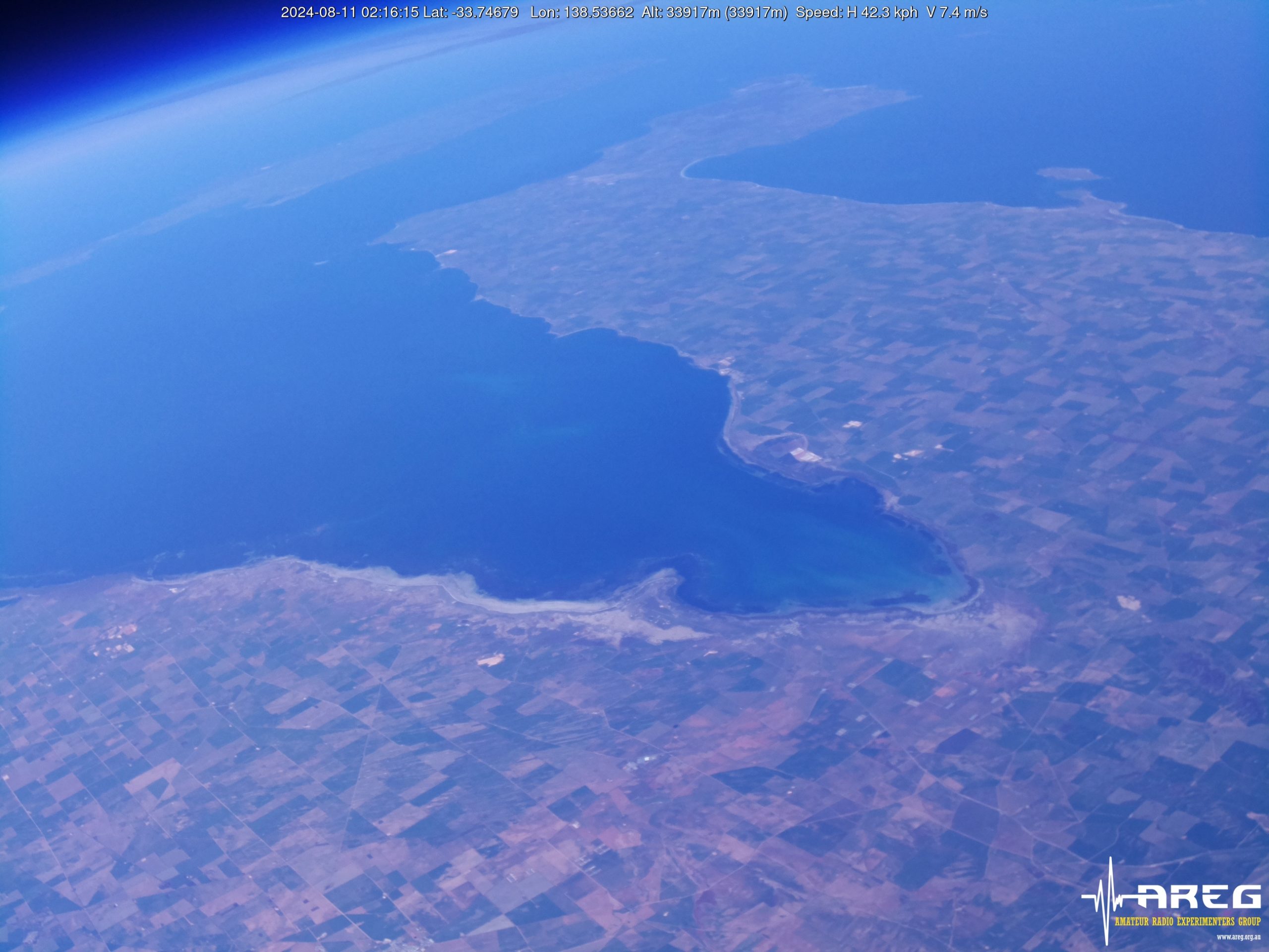
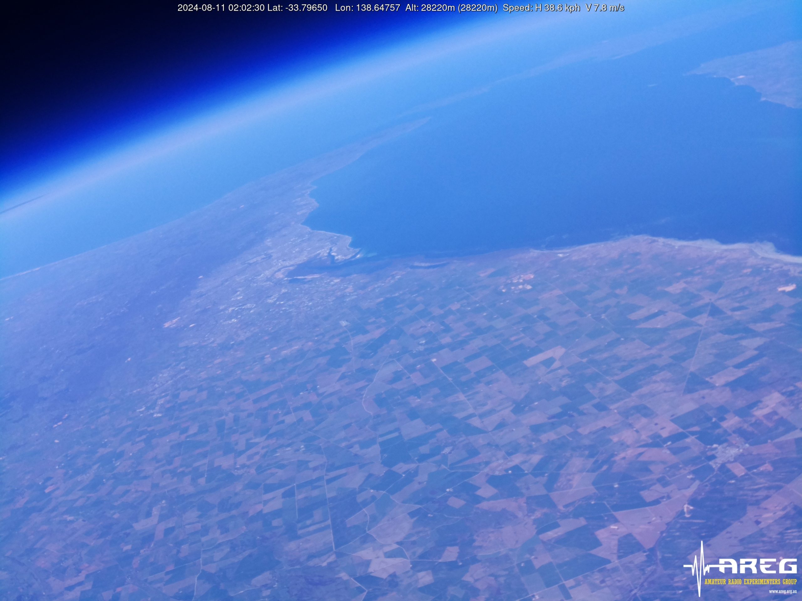
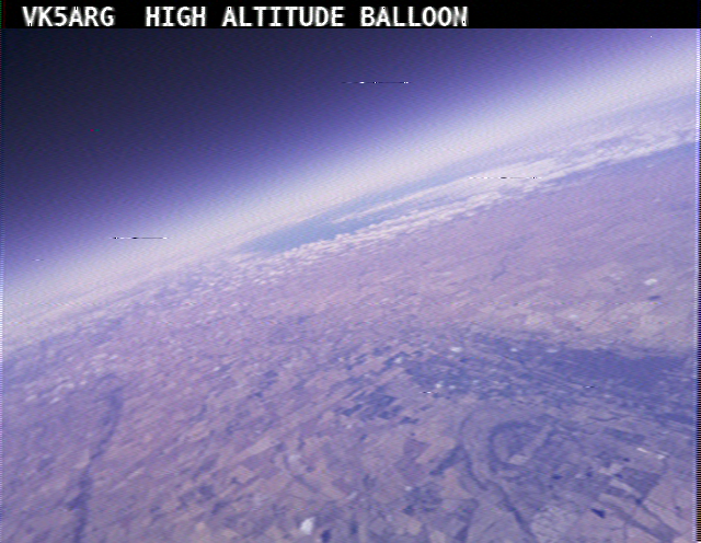
Wenet imagery from Horus 62
We encourage new listeners to try out the WebWenet software for decoding signals on this flight – however you can also still receive the signal using the Linux-based decoder, with details on this available here:
https://github.com/projecthorus/wenet/wiki/Wenet-RX-Instructions-(Linux-using-Docker)
Please note the transmit frequency of 443.5 MHz, which may require listeners to re-configure their Wenet setup.
During the flight, the live imagery will be available at this link: http://ssdv.habhub.org/


