
![]()
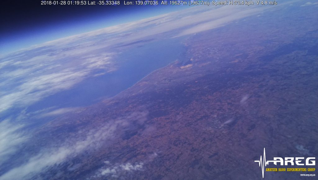
After the successful Southern Hemisphere Space Studies Program publicity flight last week, we are now planning to fly the Science flight this coming Sunday. This flight has two main experiments on it, the first being a Spectrometer which will collect atmospheric composition data for the university and the second is a downward facing camera with a 9DOF inertial measurement unit which is going to be used to create stitched together images from the flight area.
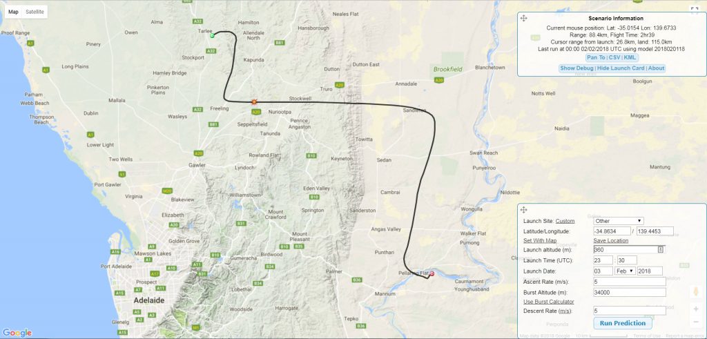
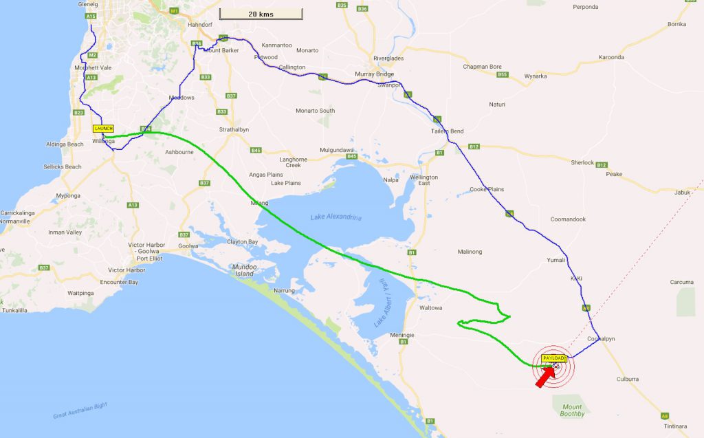
The flight will lift off at 10:00am ACDT on the 4th of February from Younghusband in the Murray Mallee ~150km east of Adelaide.
UPDATE 2018-02-05: This launch has been performed and was recovered successfully – a full writeup is incoming…
Payload Telemetry Details
As always amateur radio operators from across central and SE Australia are encouraged to get involved with telemetry reception and forwarding to the central habhub.org database.
There are two camera payloads as well as the RTTY and telecommand systems planned for this flight.
- Primary: 434.650MHz RTTY 100 baud 8N1
- SHSSP-1: 441.2MHz FSK 115k2 baud Wenet (downward facing camera)
- VK5ARG: 443.5MHz FSK 115k2 baud Wenet (outward facing camera)
Information on how to receive, decode and relay the information is available as follows:
RTTY Payload
The auto-configure feature within dl-fldigi will automatically configure these settings for you once you pick the correct flight (“Horus 47 / SHSSP 2018 MkII”). The UKHAS tracking guide provides the information you need to set up a RTTY receiver: https://ukhas.org.uk/guides:tracking_guide
WENET Picture Payloads
Information on setting up to receive the Wenet imaging payload is available here: https://github.com/projecthorus/wenet/wiki/Wenet-RX-Instructions-(Ubuntu-Debian)
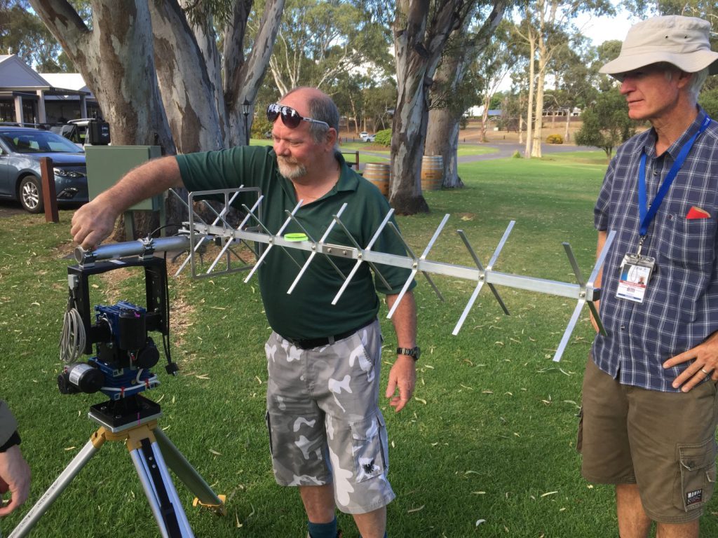
Note that this is a few orders of magnitude more complicated than setting up for RTTY, and requires a machine running a recent version of Ubuntu, some Linux experience, and a RTLSDR+Preamp. You also need to be within 100-150km of the balloon to receive sufficient signal. If you have a WENET capable ground station please concentrate on the 441.2MHz downlink to maximise the data we collect for the university.

Tracking and Viewing Information
 If you want to follow the progress of the flights, you can visit www.habhub.org and access the live tracking information as events unfold. You can also access the live SSDV images from ssdv.habhub.org/VK5ARG
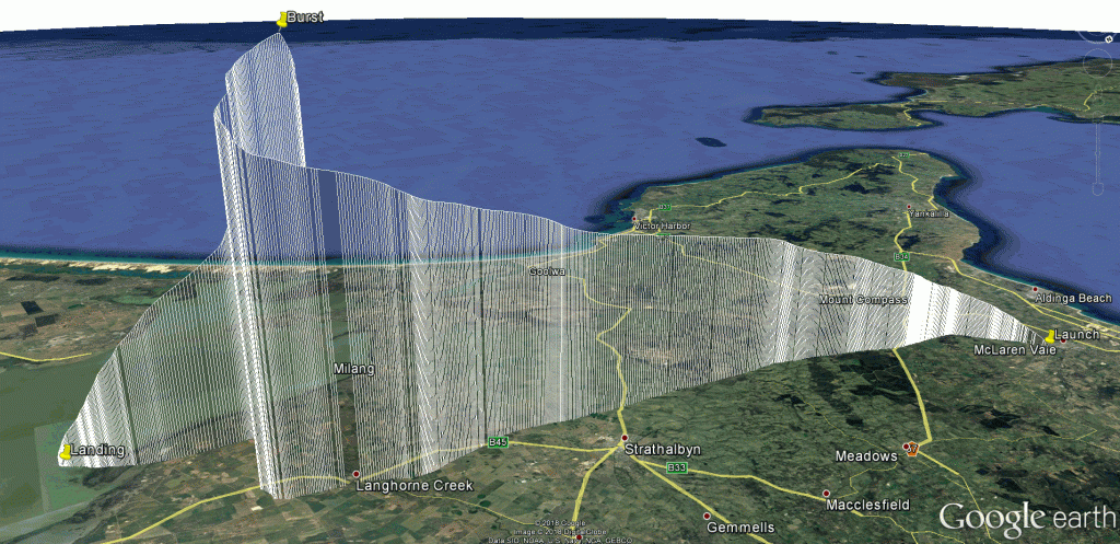
The predicted flight path at this time is:
Keep watching the AREG Website for details as things can always change the closer we get to lift off.
")
")
")
")
")
")
")
")
")
")
")
")
")
")
")
")
")
")
")


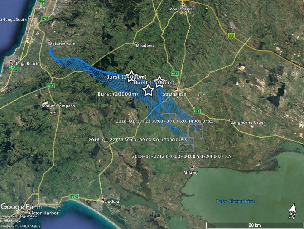
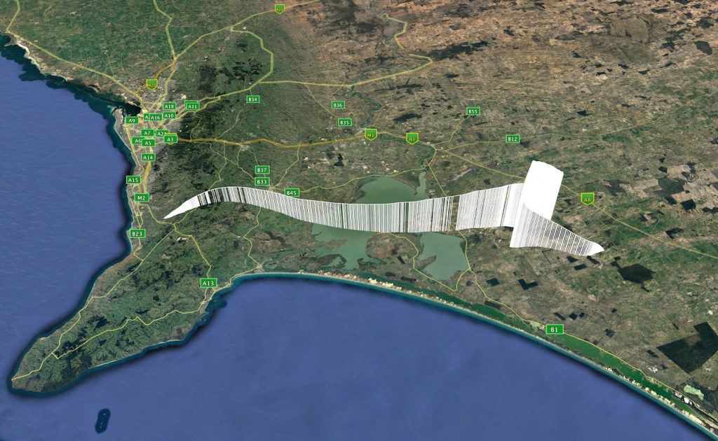
 The Amateur Radio Experimenters Group has been again asked to support the Southern Hemisphere Space Studies Program for the International Space University in 2018. Held in conjunction with the University of South Australia in Adelaide, this year AREG is launching one balloon for the group carrying a variety of sensors and cameras. The students this year are focusing on space navigation and will be attempting to take the GPS and 9DOF orientation sensor data from the payload to pinpoint where in space the photos were taken from, and then overlay them like a checkerboard over the ground.

")
")
")
")


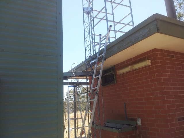
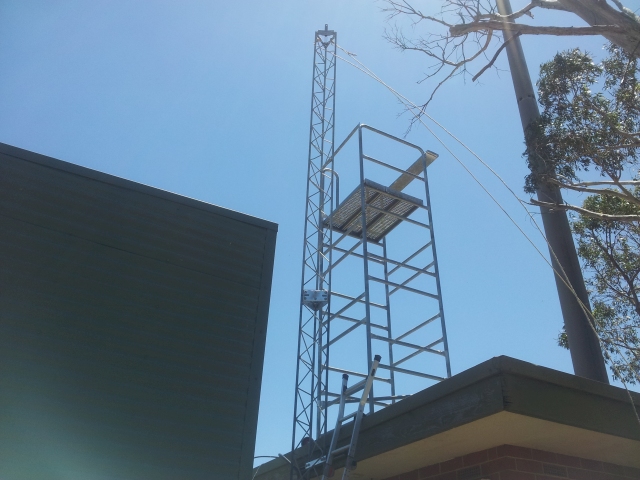
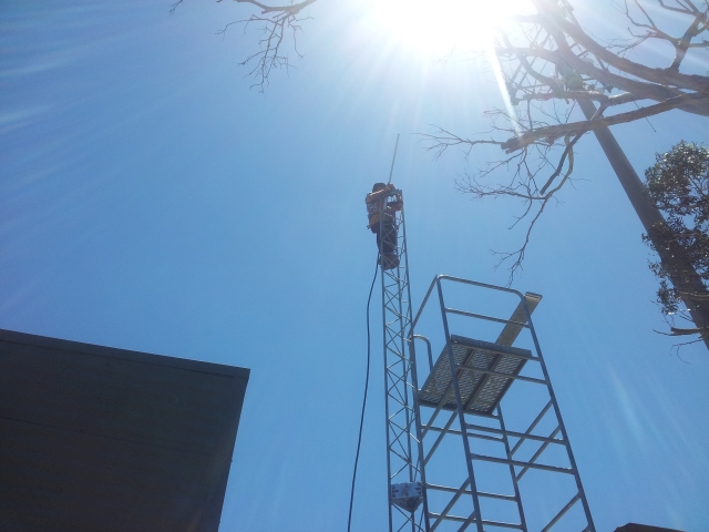
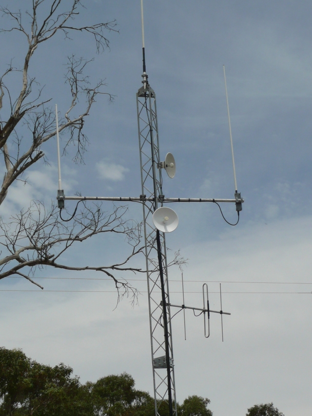
 WICEN has approached AREG to help with their communications nets during the Adelaide Rally this year on the 7th,8th and 9th of December. For the most part, WICEN will use the VK5RHO Ansteys 2-meter repeater (146.850) but for 2 other stages they are requesting to use the VK5RSA 70cm repeater (438.025). AREG is very supportive of this type of use of the club repeater assets and so naturally has agreed.
 WICEN may also require access to Summertown VK5RSB (439.900) as a possible backup for a Saturday afternoon stage.